
Nagaland's Highest Point
Mount Saramati is the highest peak in Nagaland — and, in fact, the highest point in the entire Naga Hills range, which stretches across the India-Myanmar border. At roughly 3,826 m, it sits near the international border in remote Kiphire district, about as far from Nagaland's Hornbill Festival circuit as this small state gets.
This is not a casual weekend hike. Compared to Nagaland's more accessible treks, Saramati is a genuine expedition — multi-day, physically demanding, and largely without the trail infrastructure trekkers might expect in the Himalaya proper. It draws a small, dedicated number of experienced trekkers each year rather than the steadier stream that heads to Dzukou Valley.
In return, the mountain offers something increasingly rare in Northeast India's trekking scene: genuine remoteness. The upper reaches support high-altitude flora and fauna adapted to this little-explored corner of the Naga Hills ecosystem, and the route itself passes through country that sees very few outside visitors in any given year.
⛰️ Mount Saramati at a Glance
Best Time to Attempt the Trek
Given the remoteness and the total absence of nearby rescue or resupply infrastructure, timing matters more here than on almost any other Nagaland trek.
The most stable weather window, with clearer trails and drier conditions — the only realistic season for a trek this remote and unsupported.
Genuinely cold at altitude, but skies tend to be at their clearest — worth it if the views matter as much as the summit.
Heavy rain, landslide risk, and near-impossible trail conditions on remote terrain with no support nearby. Don't attempt Saramati in this window.
Warming up before the monsoon arrives — a reasonable late window if October-February doesn't fit your schedule.
Our pick: October to April, with November–February offering the clearest skies if you can handle the colder temperatures at altitude.
How to Reach Kiphire District
Getting to the trailhead is a genuine part of the trip — budget a full day of travel just to reach Kiphire town before the trek itself even begins.
- From Kohima: A long overland journey on hill roads to Kiphire district headquarters — treat this as its own travel day, not a quick add-on to the trek schedule.
- Onward to the trailhead: From Kiphire town, a further drive and then the trek on foot begins — arrange this through your local guide/support team in advance.
The Trek Itself
Terrain & Difficulty
This is a genuinely demanding, multi-day trek across remote, largely unmarked terrain, with real altitude gain to 3,826 m. It sits in a completely different difficulty class from shorter, well-trodden Northeast India treks — expect steep, forested approaches giving way to more open, high-altitude ground near the summit.
High-Altitude Flora & Fauna
The mountain's upper reaches support flora and fauna adapted to this relatively unexplored stretch of the Naga Hills — a genuine draw for trekkers interested in ecosystems few outside visitors ever see.
The Border Proximity
Given the route's proximity to the India-Myanmar border, register with local guides and authorities before setting out, and follow their guidance on where the trek can and cannot go.
Where to Stay
Accommodation is basic camping on the mountain itself, and simple guesthouses in Kiphire town before and after the trek.
- → Tented camps arranged by your guide/support team
- → No fixed lodges on the route
- → Bring your own or rented expedition gear
- → Basic guesthouses
- → Simple homestays
- → Government circuit house (if available)
- → Standard hotels for acclimatization/rest
- → A comfortable stop either side of the trek
Suggested Trip Plan (5–6 Days)
Kohima to Kiphire
- ✓Full day overland journey to Kiphire district
- ✓Meet your guide/support team, check gear
- ✓Overnight in Kiphire town
The Trek
- ✓Multi-day ascent through forest and high terrain
- ✓Camp overnight at designated points
- ✓Summit push weather-permitting
Descent
- ✓Descend back to the trailhead
- ✓Return to Kiphire town
Return to Kohima
- ✓Overland journey back to Kohima
- ✓Rest and recovery
* Add buffer days either side given the unpredictability of hill-road travel and weather in this part of Nagaland.
Food & Supplies
- On the trek: Carry expedition-style supplies — there are no shops or lodges along the route itself.
- In Kiphire town: Basic local eateries serve simple Naga meals — stock up on supplies here before heading out.
- Water: Carry purification tablets or a filter — natural water sources exist along the route but should be treated.
Budget Breakdown
| Expense | Budget | Mid-Range | Full Support |
|---|---|---|---|
| Guide + porter (per day) | ₹1,500 | ₹2,500 | ₹4,000 |
| Kiphire guesthouse/night | ₹800 | ₹1,500 | ₹2,000 |
| Food/day (trek + town) | ₹500 | ₹800 | ₹1,500 |
| Vehicle hire (Kohima–Kiphire round trip) | ₹8,000 | ₹12,000 | ₹18,000 |
| Permits/registration | ₹500 | ₹500 | ₹500 |
* A guide and support team are not optional here — budget for them as an essential cost, not an upgrade.
Essential Tips for Mount Saramati
- Do not attempt without a guide: The remoteness, lack of signage, and border proximity make an experienced local guide and support team essential, not optional.
- Prepare physically in advance: This is a multi-day, high-altitude trek — arrive fit and acclimatized rather than treating it as a casual add-on to a Nagaland trip.
- Register with local authorities: Given the border-proximate route, follow your guide's guidance on registration and permitted areas.
- Pack for genuine cold: Temperatures at altitude drop sharply, even in the recommended season.
- Build in buffer days: Hill-road travel to and from Kiphire can be unpredictable — don't cut your schedule too tight.
✅ Do
- →Hire an experienced local guide and support team
- →Train and acclimatize before attempting the trek
- →Build buffer days into your overall itinerary
- →Register with local authorities before setting out
- →Pack genuine cold-weather gear
- →Carry water purification supplies
❌ Don't
- →Attempt this trek solo without local support
- →Underestimate the physical difficulty
- →Travel during monsoon season (May–Sep)
- →Cut your itinerary too close on travel days
- →Skip acclimatization before the summit push
- →Ignore your guide's advice on border-area routes
Frequently Asked Questions
How difficult is the Mount Saramati trek?
Genuinely difficult — this is an expedition-level trek, not a casual walk. Expect multiple days on remote, largely unmarked trails, real altitude gain to 3,826m, and no rescue infrastructure to fall back on. It sits in a completely different difficulty class from shorter treks like Dzukou Valley.
How many days does it take?
Realistically 4-6 days or more once you include the journey to and from Kiphire district, acclimatization, and the trek itself. This isn't a trip you can compress into a long weekend.
Is a guide mandatory?
In practice, yes. There's minimal signage, no established base-camp infrastructure, and the route runs close to the India-Myanmar border. An experienced local guide and support team aren't a convenience here — they're how the trek gets done safely.
How far is Kiphire district from Kohima?
It's a long overland journey on hill roads — plan for the better part of a day just to reach Kiphire town before the trek itself begins. Factor this fully into your overall trip timeline rather than treating it as a quick add-on.
What is the best time to attempt the trek?
October to April offers the most stable weather window. Monsoon (roughly May-September) should be avoided entirely — the remote terrain and lack of support infrastructure make bad-weather conditions genuinely risky here.
Published by the Kudozz Club editorial team · Last updated · How we research our guides
Want us to plan this trip for you?
Tell Kudozz Club where you want to go and what kind of trip you’re looking for. We’ll build a Mount Saramati Trek and Nagaland itinerary around your dates and budget.
Continue Exploring
View all guides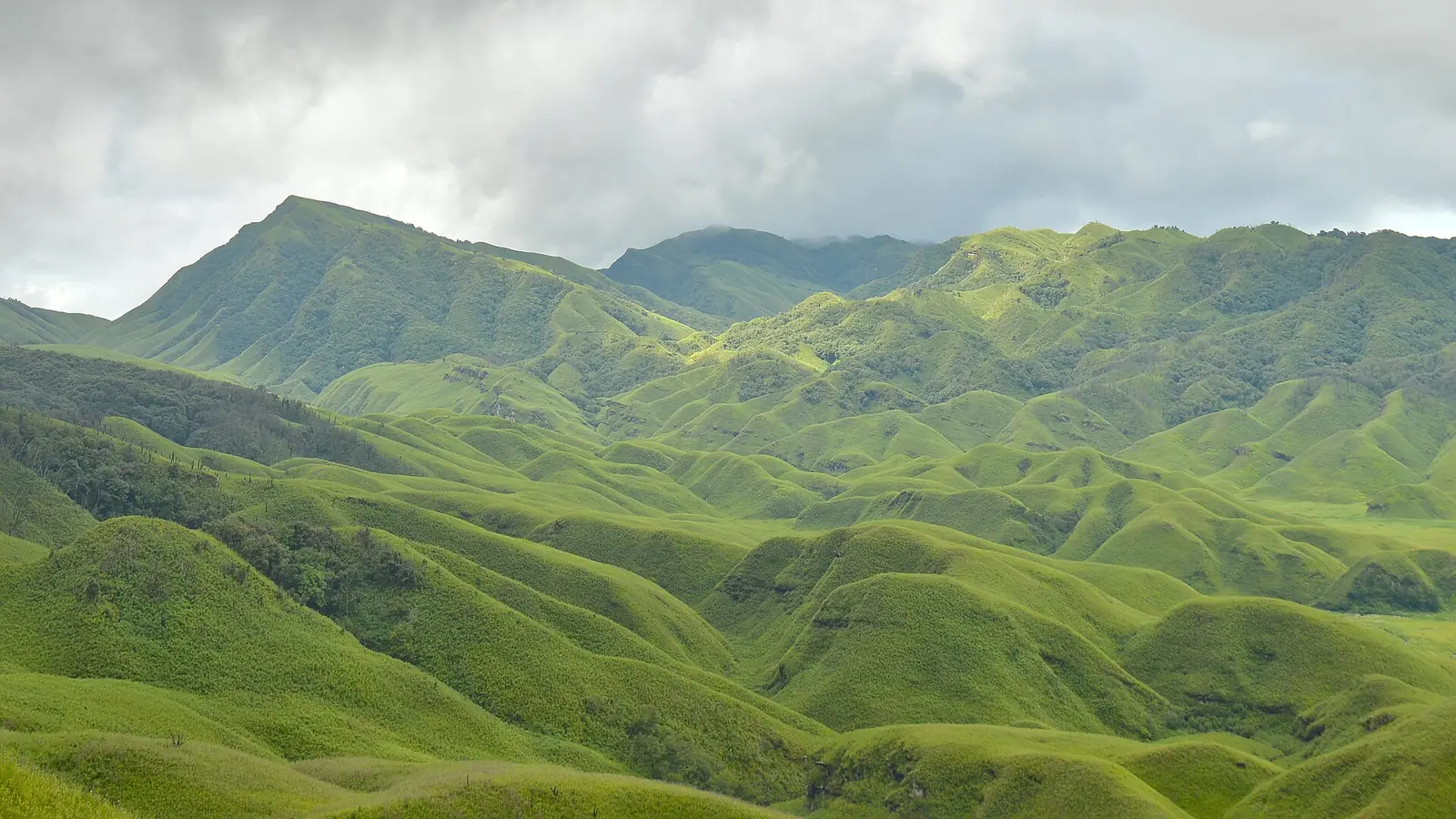 Trekking
Dzukou Valley Trek Guide: Route & Best Time
Rolling green hills often compared to Scotland's highlands, and a rare lily found nowhere else on earth — the complete Dzukou Valley trek guide.
 Trekking
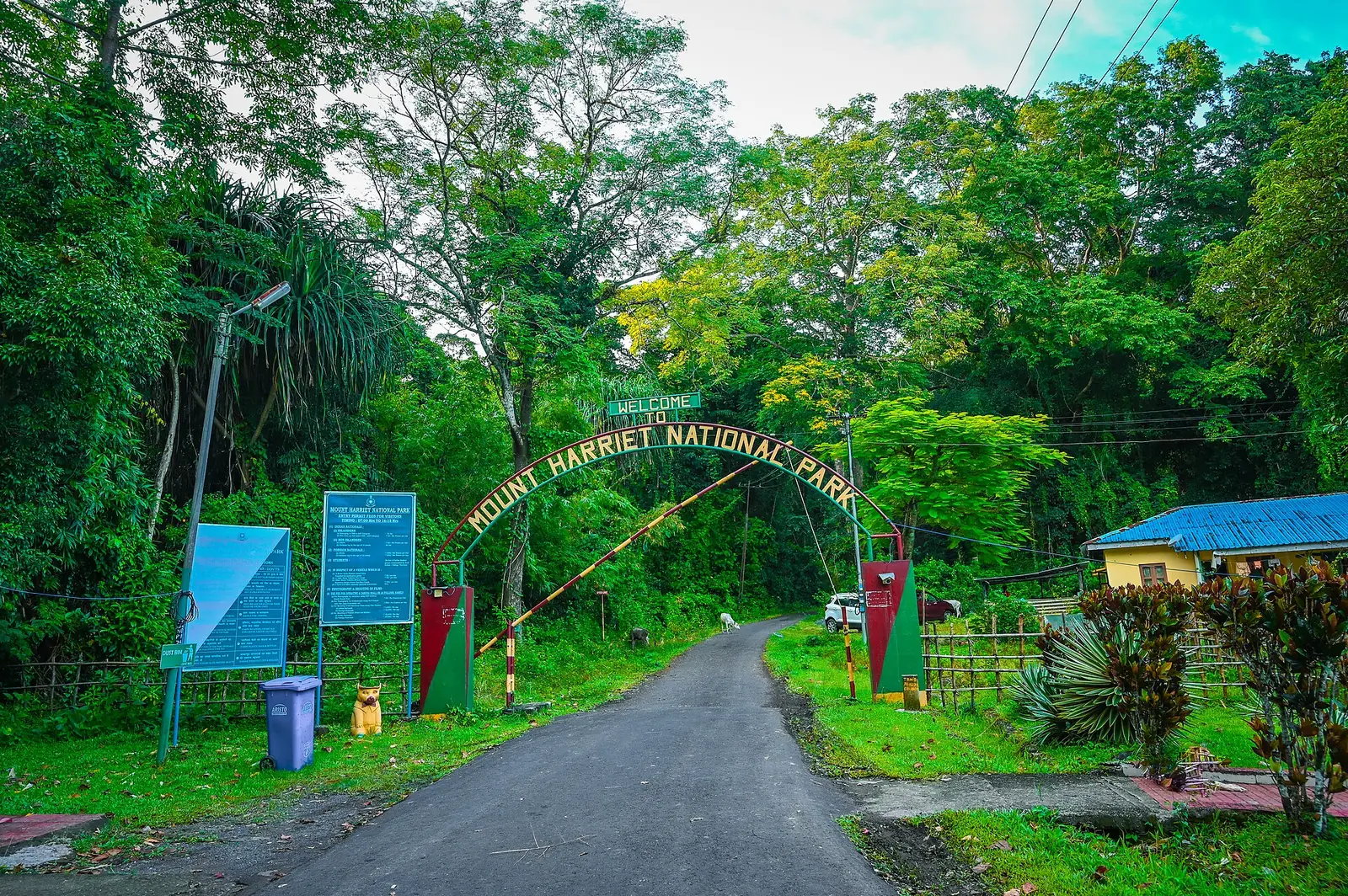
Mount Manipur (Mount Harriet) Travel Guide: Trek & Views
South Andaman's highest point, across the harbour from Port Blair — colonial-era ruins, forest trails, and panoramic views over Ross Island and North Bay.
 Trekking
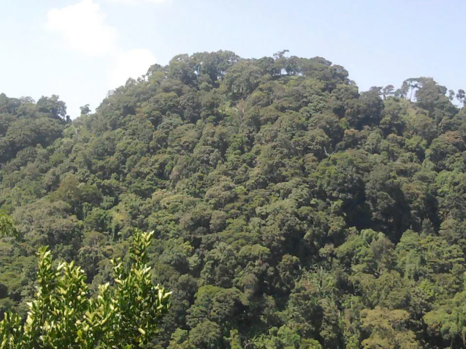
Betlingchhip Trek Guide: Tripura's Highest Peak
A dense-forested climb to Tripura's highest point — one of Northeast India's most genuinely off-the-beaten-path treks, far from any built-up trail infrastructure.
 Trekking
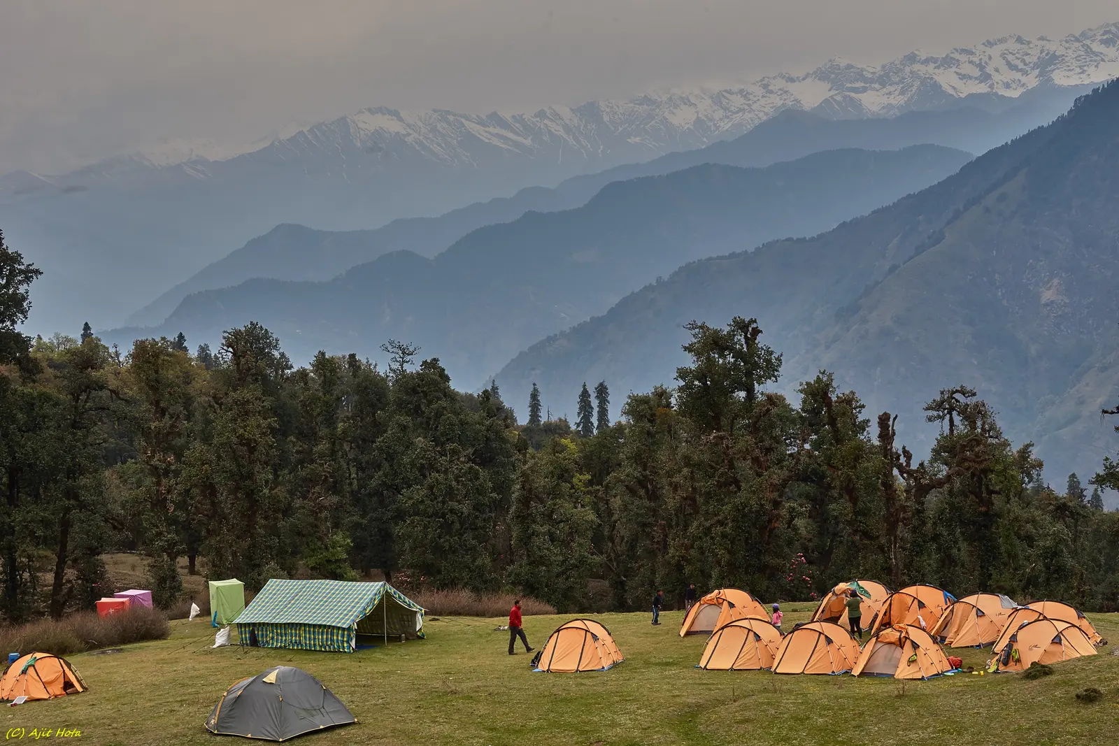
Chopta Travel Guide: Tungnath Trek & Best Time
The "Mini Switzerland of India" — base for the Tungnath-Chandrashila trek to the world's highest Shiva temple and a 360-degree Garhwal Himalaya panorama.