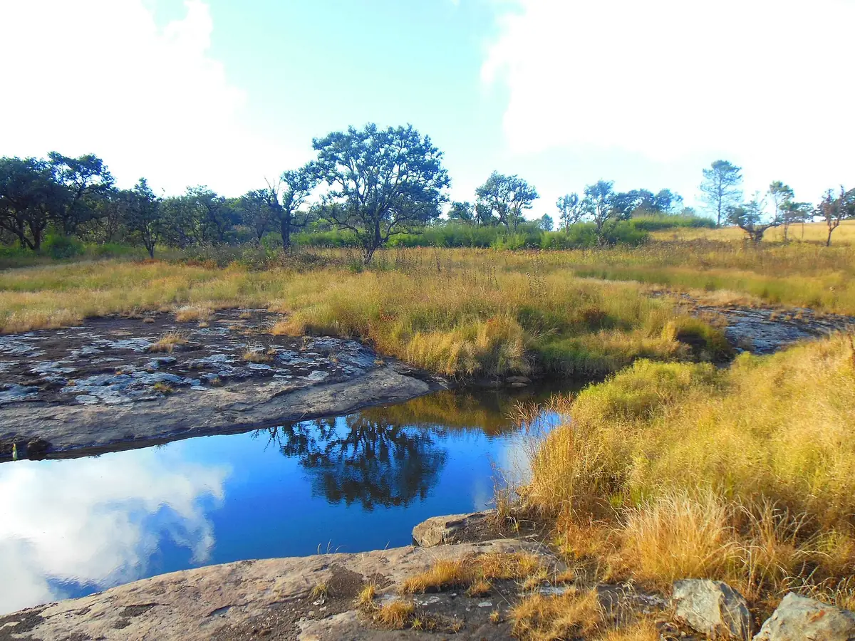
Mizoram's Highest, Bluest Peak
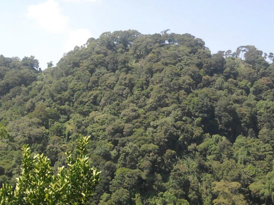
Phawngpui, popularly called the Blue Mountain, is the highest peak in Mizoram at roughly 2,157 m, in Lawngtlai district near the Myanmar border. The name comes from a distinctive bluish haze that wraps the mountain when seen from a distance — a genuinely striking visual effect that gives the peak its unmistakable character.
It sits within Phawngpui National Park, known for rare flora including several orchid species and rhododendrons, of real interest to botanically-minded travelers as much as trekkers. This is a serious, remote destination — considerably more demanding than Mizoram's easier day-trip attractions, and best suited to experienced trekkers.
🏔️ Phawngpui at a Glance
Love the outdoors? See our guide to nature travel in Northeast India.
Best Time to Trek Phawngpui
Given the trek's remoteness and difficulty, stable weather matters more here than for easier destinations.
The most stable weather window, essential given the remote terrain and the difficulty of any support in bad conditions.
Flowering periods vary by species — check locally with your guide for the current season's timing if this is a priority.
Weather becomes less predictable as monsoon approaches — not recommended for a first attempt.
Heavy rain and difficult terrain make this genuinely unsafe for the remote approach and trek.
Our pick: October to April, avoiding monsoon entirely given the remote, protected terrain.
How to Reach Lawngtlai District
- By road from Aizawl: A long journey to reach Lawngtlai district itself, before the trek approach even begins — budget a full day or more of travel each way.
The Trek & the National Park
The Summit Trek
A genuinely demanding multi-day trek through forested, remote terrain — expect steep sections and limited infrastructure throughout.
Rare Flora
Phawngpui National Park's orchids and rhododendrons are a real draw for botanically-minded visitors, best seen in their respective bloom windows.
The Blue Haze
Best appreciated from a distance before or after the climb — the mountain's namesake blue tint is most visible on clear days from lower vantage points.
Where to Stay
Very limited infrastructure — expect basic forest department accommodation or camping, with guesthouses in Lawngtlai town before/after the trek.
- → Forest department huts (basic)
- → Trekking tents
- → Basic guesthouses
- → Simple lodges
- → Standard city hotels
Suggested Visit Plan
Travel to Lawngtlai
- ✓Long drive from Aizawl
- ✓Arrange guide, permits, and final logistics
- ✓Rest before the trek begins
The Trek
- ✓Multi-day ascent through forest terrain
- ✓Camp overnight en route
- ✓Summit and descent
Return
- ✓Travel back to Lawngtlai and onward to Aizawl
Food on the Trek
- Carry your own supplies: Facilities along the route are minimal to nonexistent — plan expedition-style provisions.
- Lawngtlai town: Basic local eateries before and after the trek.
Budget Breakdown
| Expense | Estimate |
|---|---|
| Guide/porter (per day) | ₹1,500 – ₹2,500 |
| Forest department permit | ₹500 – ₹1,000 |
| Camping/trekking gear rental | ₹1,000 – ₹2,000 |
| Food supplies for the trek | ₹1,500 – ₹3,000 |
* A guide/porter team is not optional here — treat it as an essential cost, not an add-on.
Essential Tips for Trekking Phawngpui
- Arrange a guide and permits well in advance: This is a protected, remote, border-adjacent area — do not expect to organize on arrival.
- Come physically prepared: This is not a casual first trek — multi-day, demanding terrain requires genuine fitness.
- Time your trip around bloom season if flora is a priority: Check current timing locally rather than assuming fixed dates.
- Register with local authorities/guides given the border proximity: A responsible, informed approach matters here.
✅ Do
- →Arrange guides and permits in advance
- →Train physically before attempting this trek
- →Carry expedition-level supplies
- →Check current weather before departing
- →Register with local authorities
- →Respect the protected park status
❌ Don't
- →Attempt this as a casual first trek
- →Travel without a local guide
- →Underestimate the travel time to Lawngtlai
- →Trek during monsoon season
- →Skip permit arrangements
- →Expect any real infrastructure en route
Frequently Asked Questions
How tall is Phawngpui and why is it called the Blue Mountain?
Phawngpui rises to roughly 2,157 m, the highest point in Mizoram. Its name comes from the distinctive bluish haze that surrounds the peak when viewed from a distance — a genuinely striking visual effect, not just a poetic name.
How difficult is the Phawngpui trek?
This is a serious, multi-day trekking destination — considerably more demanding and remote than day-trip attractions elsewhere in Mizoram. It requires real physical preparation and is not suitable as a casual first trek.
How far is Lawngtlai district from Aizawl?
It's a long journey, involving a substantial drive to reach the district before the trek itself even begins. Budget significant travel time on both ends of the trip.
Do I need permits to trek Phawngpui?
Yes — as a national park and protected, remote border-adjacent area, forest department permits and a local guide are essential. Arrange these well in advance rather than expecting to organize on arrival.
When is the best time to see the orchids and rhododendrons in bloom?
Bloom timing varies by species within Phawngpui National Park; check locally with your guide or the forest department for the current season's specific flowering window before finalizing your trip dates.
Published by the Kudozz Club editorial team · Last updated · How we research our guides
Want us to plan this trip for you?
Tell Kudozz Club where you want to go and what kind of trip you’re looking for. We’ll build a Phawngpui and Mizoram itinerary around your dates and budget.
Continue Exploring
View all guides Trekking
Kasol & Kheerganga: The Backpacker's Himalayan Trail
Follow the Parvati River to natural hot springs through pine forests and tiny Himalayan villages.
 Trekking
Dzukou Valley Trek Guide: Route & Best Time
Rolling green hills often compared to Scotland's highlands, and a rare lily found nowhere else on earth — the complete Dzukou Valley trek guide.
 Trekking
Deomali Trek Guide: Odisha's Highest Peak
A quiet, forested climb to Odisha's highest point, through tribal villages and Eastern Ghats woodland — far from any crowded trekking circuit.
 Trekking
Betlingchhip Trek Guide: Tripura's Highest Peak
A dense-forested climb to Tripura's highest point — one of Northeast India's most genuinely off-the-beaten-path treks, far from any built-up trail infrastructure.