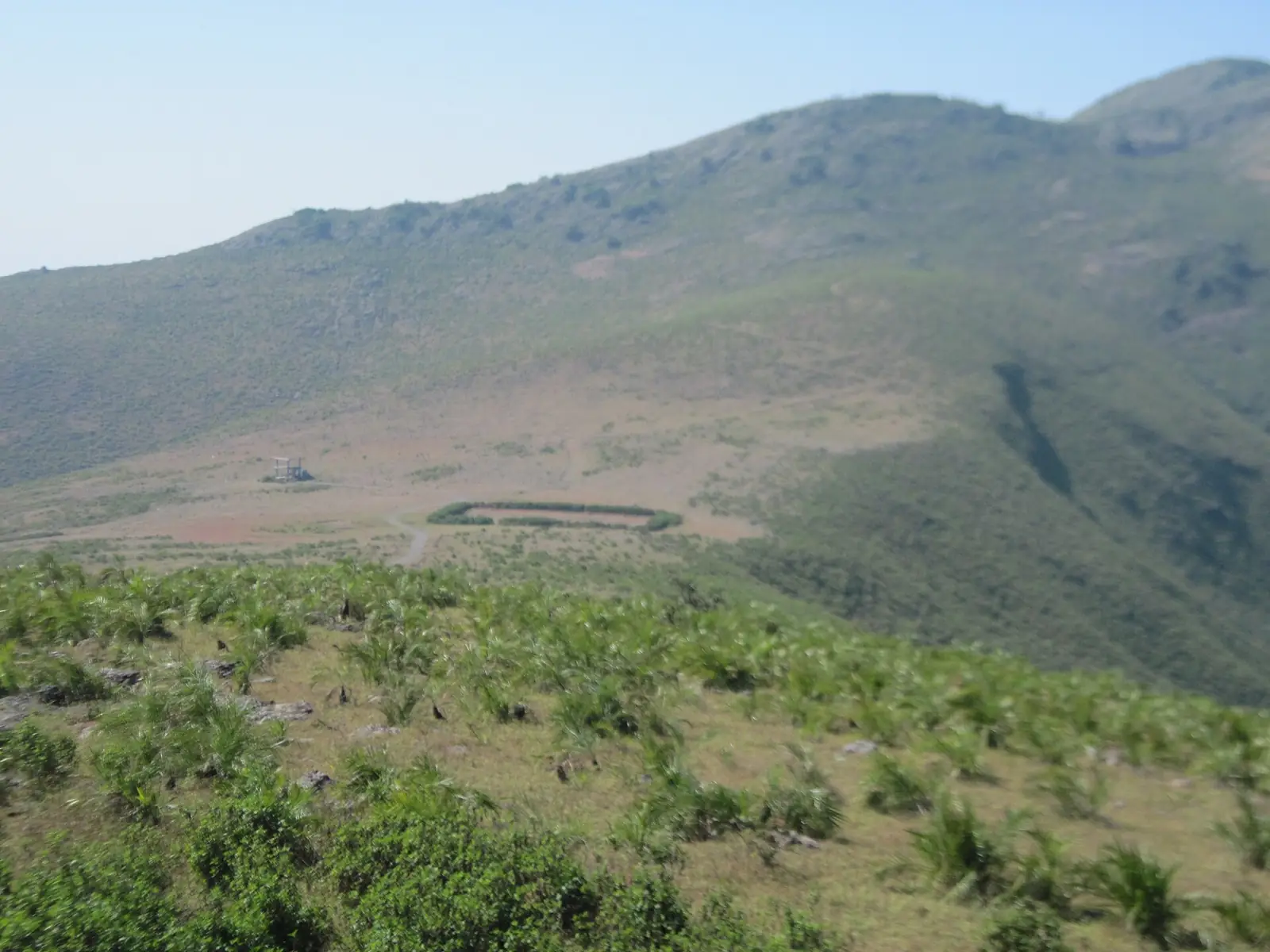
Odisha's Highest Point
Deomali, in Koraput district, is the highest peak in Odisha at roughly 1,672 metres — modest by Himalayan standards, but a genuine, rewarding trek through Eastern Ghats forest and near tribal villages.
Unlike major Himalayan trekking circuits, Deomali remains considerably less developed and far less touristed, appealing to trekkers who want something offbeat and quiet rather than a crowded, well-worn trail. The summit offers panoramic views over the surrounding Eastern Ghats landscape.
Given the remote, tribal-region setting, a local guide is strongly advisable for both navigation and cultural context along the way.
⛰️ Deomali at a Glance
Best Time to Trek Deomali
Cool, dry conditions matter far more here than at higher Himalayan altitudes — the trail itself is the main variable to plan around.
Cool, clear conditions make for comfortable trekking and the best summit visibility.
Temperatures rise, making an early start more important to avoid the heat of the day.
Slippery trails and poor visibility make this genuinely difficult and best avoided.
Starting early, regardless of season, gives the clearest views and coolest trekking conditions.
Our pick: October to February, with an early morning start for the clearest, coolest trekking conditions.
How to Reach Deomali
Koraput town is the essential base for attempting Deomali.
- From Koraput town: A manageable drive to the trailhead — cross-link our Koraput guide for how to reach the wider region.
- Local guide/driver arrangement: Best organized from Koraput, where guides familiar with the trail and surrounding villages can be hired.
The Trek & the Summit
The Trail
A generally moderate trek through dense forest, with some steeper stretches nearer the summit. Expect a few hours each way, depending on pace and conditions.
Tribal Villages Along the Way
The route passes near tribal villages, adding a cultural dimension to the natural scenery — a respectful, unhurried approach is appreciated.
Summit Views
From the top, panoramic views stretch across the Eastern Ghats — a genuinely rewarding payoff for a trek that sees far fewer visitors than comparable Himalayan summits.
Where to Stay
There's no accommodation at Deomali itself — Koraput town is the realistic base, both before and after the trek.
- → Odisha Tourism guesthouses (Koraput)
- → Basic town lodges
- → Simple family-run stays
- → Business-style hotels in Koraput town
- → Upgraded guesthouses
- → Better-equipped rooms
- → Very limited premium options
- → Book well ahead if available
- → Not the priority for this trip
Suggested Visit Plan (1 Day Trek)
Base in Koraput
- ✓Arrange a local guide and transport the evening before
- ✓Early night ahead of an early start
- ✓Confirm trail conditions with your guide
Summit & Return
- ✓Early start to the trailhead
- ✓Trek to the Deomali summit
- ✓Return to Koraput by evening
* With more time, combine this trek with a wider Koraput and Jeypore itinerary.
Food on the Trek
- Carry your own: There are minimal facilities along the trail — pack water and snacks for the full trek.
- Koraput town meals: Eat a proper meal before and after the trek at your base accommodation or a local eatery.
Budget Breakdown
| Expense | Budget | Mid-Range | Luxury |
|---|---|---|---|
| Local guide (day) | ₹600 | ₹900 | ₹1,300 |
| Transport to trailhead | ₹500 | ₹800 | ₹1,500 |
| Accommodation/night (Koraput) | ₹900 | ₹2,500 | ₹4,500 |
| Food/day | ₹400 | ₹800 | ₹1,500 |
* Figures are per person, per day.
Essential Tips for Trekking Deomali
- Hire a local guide: Essential given limited signage and the remote, tribal-region terrain.
- Start early: Complete the trek comfortably in daylight and catch the clearest summit views.
- Carry sufficient water: There are no reliable facilities along the trail.
- Wear proper trekking footwear: The terrain includes forested, sometimes uneven sections.
- Avoid monsoon months: Slippery trails and poor visibility make Jun-Sep genuinely difficult.
✅ Do
- →Hire a local guide from Koraput
- →Start the trek early morning
- →Carry enough water for the full trek
- →Wear proper trekking shoes
- →Respect tribal villages along the route
- →Check weather conditions before setting out
❌ Don't
- →Attempt the trek without a guide
- →Trek during peak monsoon
- →Start late in the day
- →Expect facilities along the trail
- →Rely on mobile signal for navigation
- →Skip proper footwear
Frequently Asked Questions
How difficult is the Deomali trek?
It's a generally moderate trek — forested trails with some steeper stretches near the summit, taking a few hours each way. It's accessible to reasonably fit trekkers without requiring technical mountaineering experience.
How tall is Deomali?
Deomali stands at roughly 1,672 metres, making it the highest peak in Odisha — modest by Himalayan standards, but a genuine trek with rewarding Eastern Ghats views.
Is a guide necessary for the Deomali trek?
Yes, strongly advisable. The trail passes through remote, tribal-region terrain with limited signage, and a local guide helps with both navigation and cultural context for the surrounding villages.
How far is Deomali from Koraput?
It's a manageable drive from Koraput town to the trailhead, making Koraput the practical base for attempting the trek as a day trip.
What is the best time to trek Deomali?
October to February offers the coolest, clearest conditions. Avoid the monsoon months (June-September), when trails become slippery and visibility drops significantly.
Can Deomali be combined with other southern Odisha destinations?
Yes — it pairs naturally with Koraput and Jeypore as part of a wider southern Odisha tribal-region circuit, all within reasonable driving distance of each other.
Published by the Kudozz Club editorial team · Last updated · How we research our guides
Want us to plan this trip for you?
Tell Kudozz Club where you want to go and what kind of trip you’re looking for. We’ll build a Deomali and Odisha itinerary around your dates and budget.
Continue Exploring
View all guides Trekking
Phawngpui Trek Guide: The Blue Mountain
Mizoram's highest peak, wreathed in a distinctive blue haze near the Myanmar border — one of Northeast India's most demanding, least-attempted treks.
 Trekking
Sandakphu Trek Guide: Route, Permits & Best Time
Complete Sandakphu trek guide — the Maney Bhanjang route, permits for Singalila National Park, trek duration, tea-house stays, and views of four of the world's five highest peaks.
 Trekking
Nongriat Trek Guide: Living Root Bridge
A bridge grown from living tree roots over generations, and a demanding 3,500-step descent through the forest to reach it.
 Trekking
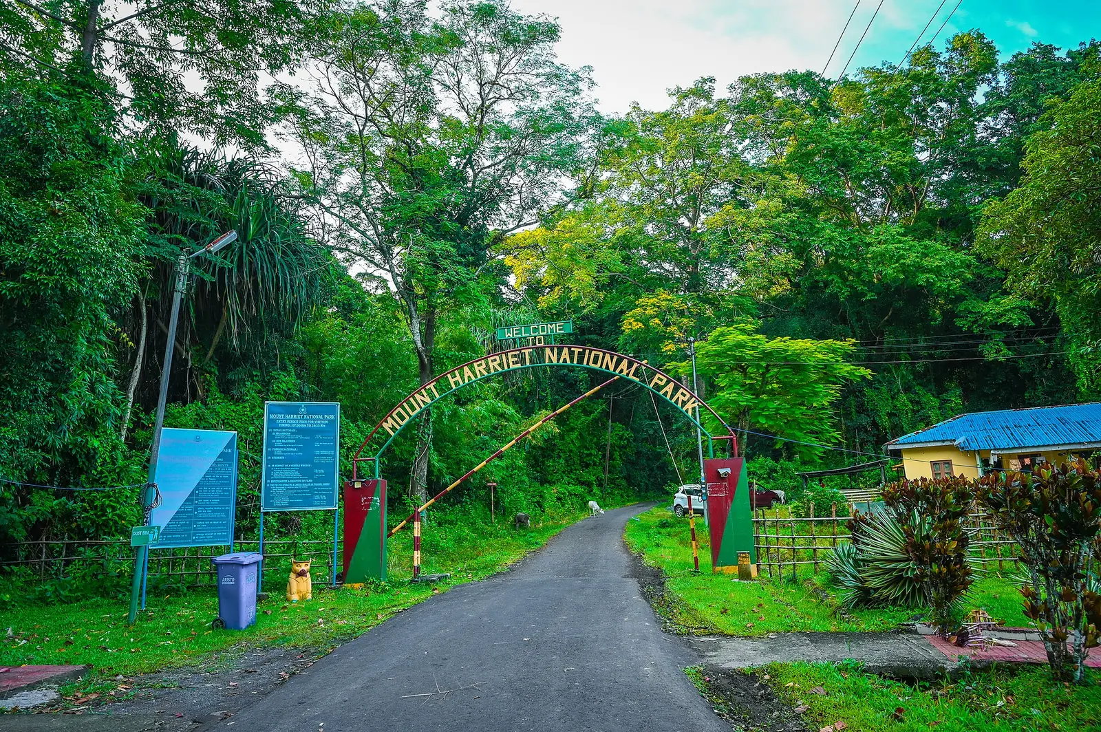
Mount Manipur (Mount Harriet) Travel Guide: Trek & Views
South Andaman's highest point, across the harbour from Port Blair — colonial-era ruins, forest trails, and panoramic views over Ross Island and North Bay.