Little Kailash of the Kumaon Border
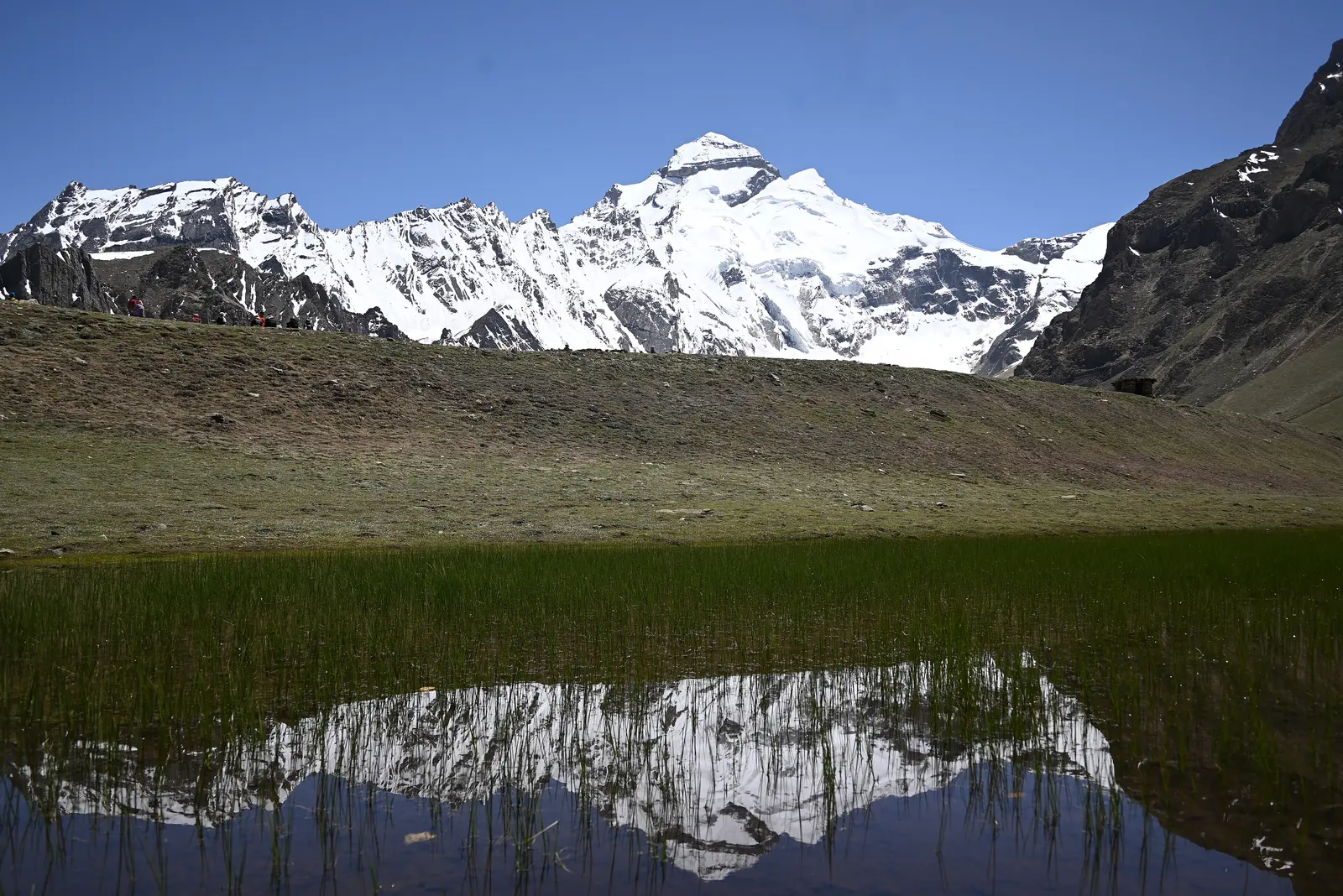
Adi Kailash, also known as Chhota Kailash ("Little Kailash"), is a Shiva-associated peak in Pithoragarh district that strikingly resembles Mount Kailash in Tibet in shape and presence. For pilgrims and trekkers who cannot make the international Kailash Mansarovar Yatra, Adi Kailash has become a well-known domestic alternative — entirely within Indian territory, though every bit as remote in its own right.
Nearby stands Om Parvat, a peak where snow naturally settles into crevices to form a pattern resembling the sacred "ॐ" symbol — one of the more striking natural phenomena in the Indian Himalaya, best seen from a roadside viewpoint near Nabhidhang. The trek itself is based out of Jolingkong, near the sacred Parvati Tal (also called Gauri Kund), a still lake set directly beneath the Adi Kailash massif.
None of this is easy to reach. The journey runs via Pithoragarh, Dharchula, and Gunji — a genuinely remote, multi-day road approach through a restricted border-area zone that requires an Inner Line Permit before you set out. This is a serious undertaking, not a casual detour, and should be planned as such.
🏔️ Adi Kailash at a Glance
Best Time to Visit Adi Kailash
Both monsoon and winter close this route entirely, which narrows the realistic travel window to two short stretches each year.
The route typically opens after winter snow clears, with relatively stable weather and long daylight hours for the drive and trek sections.
Heavy rain brings a genuine landslide risk on the narrow mountain roads between Pithoragarh and Gunji; many operators pause trips entirely.
Post-monsoon skies clear and the route reopens for a shorter autumn window before early winter snow returns to the high passes.
Heavy snow closes the high-altitude sections of the route entirely — this trip is simply not possible in these months.
Our pick: Late May to June, when the route has just reopened and weather is typically most stable — book early, as this window fills up with tour operator batches quickly.
How to Reach Adi Kailash
Be honest with yourself about the scale of this trip — it is a multi-day journey by design, not a shortcut-able weekend visit.
- By air: Pantnagar or Dehradun are the nearest airports, both requiring a long onward road journey of well over 300 km to Pithoragarh and further to Dharchula.
- By rail: Kathgodam is the nearest practical railhead, followed by a full day or more of driving to reach Pithoragarh, and further still to Dharchula.
- By road: The route runs Pithoragarh → Dharchula → Gunji, each leg a demanding mountain drive in its own right, typically requiring an overnight stop at multiple points along the way rather than a single push.
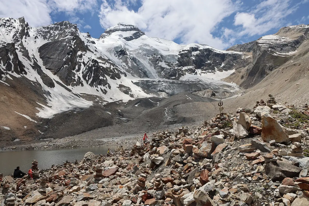
- The final trek: From Gunji or nearby, the last stretch to Jolingkong and Parvati Tal involves trekking at altitudes above 4,500m — this is where most itineraries build in acclimatisation days.
The Trek & Key Sites
Adi Kailash Peak
The peak itself, seen from Jolingkong and the shores of Parvati Tal, mirrors the distinctive shape of Mount Kailash across the border — a striking, near-symmetrical summit that has long carried a Shiva association for pilgrims who make the journey here.
Om Parvat
A separate peak nearby, viewable from a roadside point near Nabhidhang, where natural snow deposits settle into the mountain's rock crevices to form a pattern resembling the "ॐ" (Om) symbol. Visibility of the full pattern depends on current snow conditions and can vary by season — it's not guaranteed on every visit, but is a major highlight when clearly visible.
Parvati Tal (Gauri Kund)
A sacred, still lake at Jolingkong directly beneath the Adi Kailash massif, believed in local tradition to be where Parvati bathed. It's the natural endpoint of the trek from Gunji, and the classic viewpoint for photographing Adi Kailash reflected in calm water.
Kalapani & the Border Villages
The route passes through small, high-altitude villages like Gunji and Kalapani, near the tri-junction of India, Nepal, and Tibet — remote settlements that give a sense of just how far from ordinary infrastructure this trip travels, and a reminder to respect the sensitivity of a genuine border-area zone.
Where to Stay
Accommodation along this route is basic by necessity — this is a remote border region, not a resort destination. Most travellers book multi-day tour packages that include lodging at each overnight stop.
- → Basic guesthouses in Dharchula
- → PWD/forest rest houses at Gunji
- → Shared dormitory-style camps
- → Tour-operator arranged lodges
- → Better guesthouses in Pithoragarh/Dharchula
- → Trekking-agency tent camps
- → No true luxury tier along this route
- → Comfort caps out at well-run tour camps
- → Full-service organised expeditions only
Suggested Visit Plan (7-9 Days Round Trip)
Travel to Pithoragarh/Dharchula
- ✓Fly/train to Pantnagar or Kathgodam
- ✓Multi-day drive toward Pithoragarh and Dharchula
- ✓Permit formalities and document checks en route
Dharchula to Gunji & Jolingkong
- ✓Drive/trek onward via Gunji with acclimatisation stops
- ✓Reach Jolingkong, visit Parvati Tal
- ✓View Adi Kailash and, weather permitting, Om Parvat
Return Journey
- ✓Retrace the route back through Gunji and Dharchula
- ✓Return drive to Pithoragarh and onward railhead/airport
* Many travellers combine this trip with a stop in Munsiyari on the way in or out, since both share the same Pithoragarh approach road.
Where to Eat
- Dhabas in Pithoragarh and Dharchula: Simple North Indian meals, dal-rice, and basic vegetarian thalis at reasonable prices.
- Tour package meals: Most organised trips beyond Dharchula include meals as part of the package, since independent food options thin out sharply past this point.
- Carry your own snacks and water purification: Once past Gunji, food options are extremely limited — pack high-energy snacks and a way to purify water for the trek sections.
Budget Breakdown
| Expense | Budget | Mid-Range |
|---|---|---|
| Full package (7-9 days, per person) | ₹18,000 | ₹35,000 |
| Inner Line Permit | ₹200–₹500 | ₹200–₹500 |
| Accommodation/night (if independent) | ₹1,000 | ₹3,000 |
| Food/day (if independent) | ₹500 | ₹1,200 |
| Local transport/vehicle hire | Included in package | Included in package |
* Most travellers book an all-inclusive tour package (transport, permits, food, and lodging) rather than arranging each piece independently, given the route's remoteness and permit requirements.
Essential Tips for Visiting Adi Kailash
- Arrange your Inner Line Permit well in advance: It's mandatory for this restricted border zone — go through a registered operator or the Pithoragarh/Dharchula district administration, and don't leave it to the last moment.
- Build in acclimatisation days: The trek touches altitudes above 4,500m — a rushed itinerary significantly raises the risk of altitude sickness. Choose an operator whose schedule reflects this.
- Carry proper cold-weather and rain gear: Weather at this altitude and this close to the border changes quickly and without much warning.
- Don't expect mobile network or easy medical access: Connectivity is patchy to nonexistent past Dharchula, and the nearest serious medical facilities are a full day or more away.
- Go with a registered, experienced operator: Given the permit requirements, road conditions, and altitude, this is not a trip to improvise independently unless you have serious high-altitude trekking experience of your own.
✅ Do
- →Arrange your Inner Line Permit well ahead
- →Book with a registered, experienced operator
- →Build in acclimatisation days
- →Carry proper cold-weather and rain gear
- →Carry cash — no ATMs beyond Dharchula
- →Respect the sensitivity of the border zone
❌ Don't
- →Attempt this trip during monsoon or winter
- →Rush the altitude gain without acclimatisation
- →Travel without a confirmed Inner Line Permit
- →Expect reliable mobile network past Dharchula
- →Underestimate how remote this route is
- →Travel without checking current border-area rules
Frequently Asked Questions
What is the difference between Adi Kailash and Mount Kailash in Tibet?
Mount Kailash (the destination of the Kailash Mansarovar Yatra) lies across the border in Tibet and requires international travel through Nepal or China. Adi Kailash — also called Chhota Kailash, or 'Little Kailash' — is a separate peak entirely within Indian territory in Pithoragarh district, which resembles Mount Kailash's distinctive shape and carries the same Shiva association, making it a domestic alternative for pilgrims who cannot make the Tibet journey.
What is Om Parvat and why is it significant?
Om Parvat is a peak near Adi Kailash where natural snow deposits in the mountain's crevices form a pattern resembling the sacred 'Om' symbol, visible from certain viewpoints and under the right snow conditions. It's considered a striking natural phenomenon and a major draw of the region alongside Adi Kailash itself.
Do I need a permit to visit Adi Kailash?
Yes. The route passes through a restricted border-area zone near the Nepal and Tibet (China) borders, so an Inner Line Permit is mandatory, typically arranged through registered tour operators or the district administration in Pithoragarh/Dharchula. Foreign nationals face additional restrictions and in practice usually cannot access this route independently — check current rules well before planning the trip.
How physically demanding is the Adi Kailash trip?
It's a genuinely demanding, multi-day journey — a long road drive over rough mountain roads followed by trekking sections that touch altitudes above 4,500m near Jolingkong and Parvati Tal. Altitude sickness is a real risk given the pace many itineraries require, so prior high-altitude experience or a conservative, well-acclimatised schedule is strongly advised.
How remote is this trip really?
Very. There's no shortcut here — reaching the Adi Kailash base involves a multi-day road journey from the nearest railhead or airport through Pithoragarh, Dharchula, and Gunji, on roads that are narrow, occasionally landslide-prone, and far from quick medical help. This is not a weekend trip; budget at least 7-9 days round-trip from Delhi or Dehradun.
What is the best time to visit Adi Kailash?
May to June and September to mid-October are the two viable windows — the monsoon (July-August) brings landslide risk on the mountain roads, and winter (November-April) closes the high-altitude route entirely due to snow. Even within these windows, weather can change quickly, so build buffer days into any itinerary.
Published by the Kudozz Club editorial team · Last updated · How we research our guides
Want us to plan this trip for you?
Tell Kudozz Club where you want to go and what kind of trip you’re looking for. We’ll build a Adi Kailash and Uttarakhand itinerary around your dates and budget.
Continue Exploring
View all guides Off-beat
Munsiyari Travel Guide: Panchachuli Views & Treks
Complete Munsiyari guide — Panchachuli peak views, Betuli Dhar, Thamri Kund, Milam Glacier trek logistics, how to reach this remote Kumaon town, where to stay, and a full visit plan.
 Trekking
Chopta Travel Guide: Tungnath Trek & Best Time
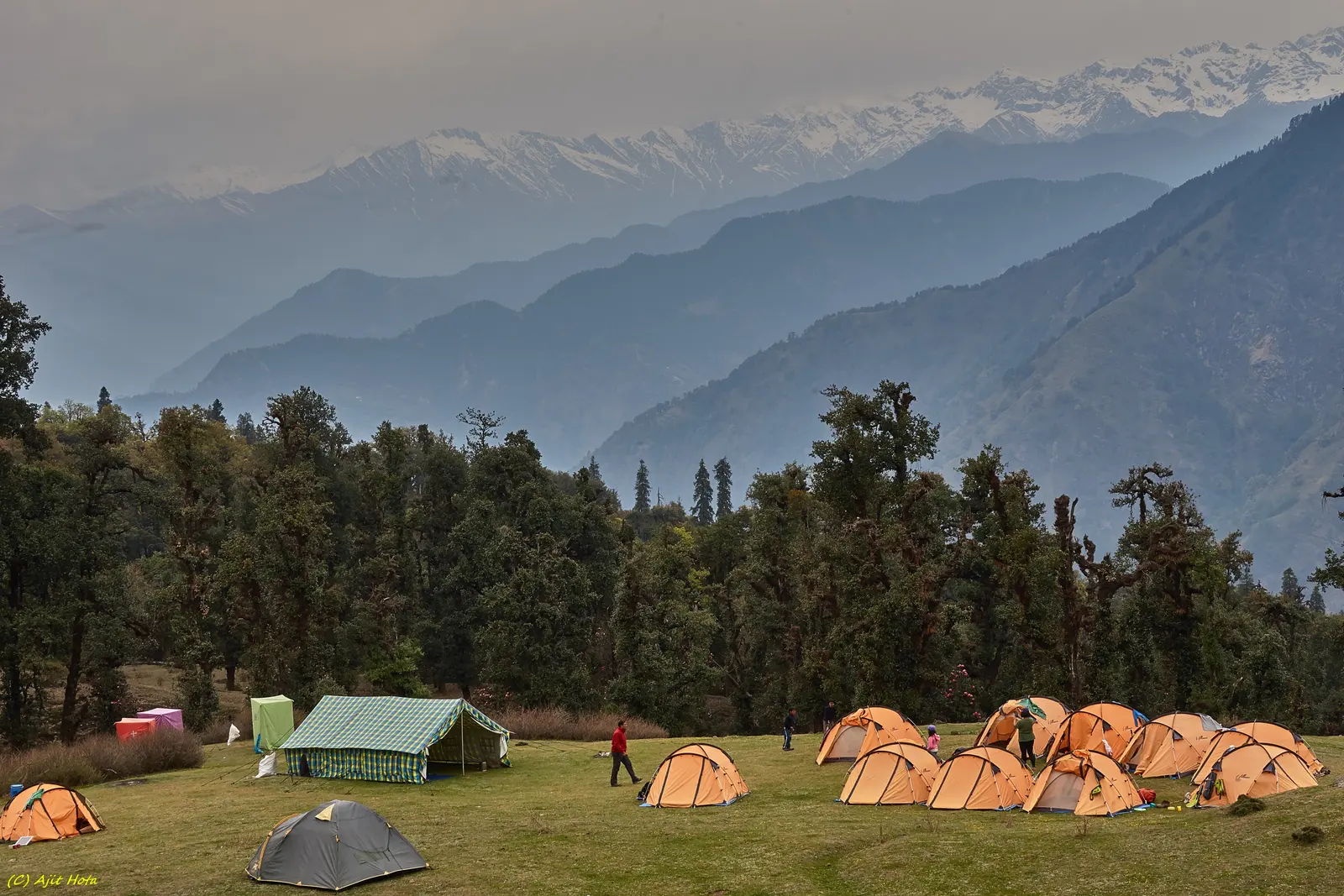
The "Mini Switzerland of India" — base for the Tungnath-Chandrashila trek to the world's highest Shiva temple and a 360-degree Garhwal Himalaya panorama.
 Trekking
Valley of Flowers Trek Guide: Permits, Routes, Best Time & Tips
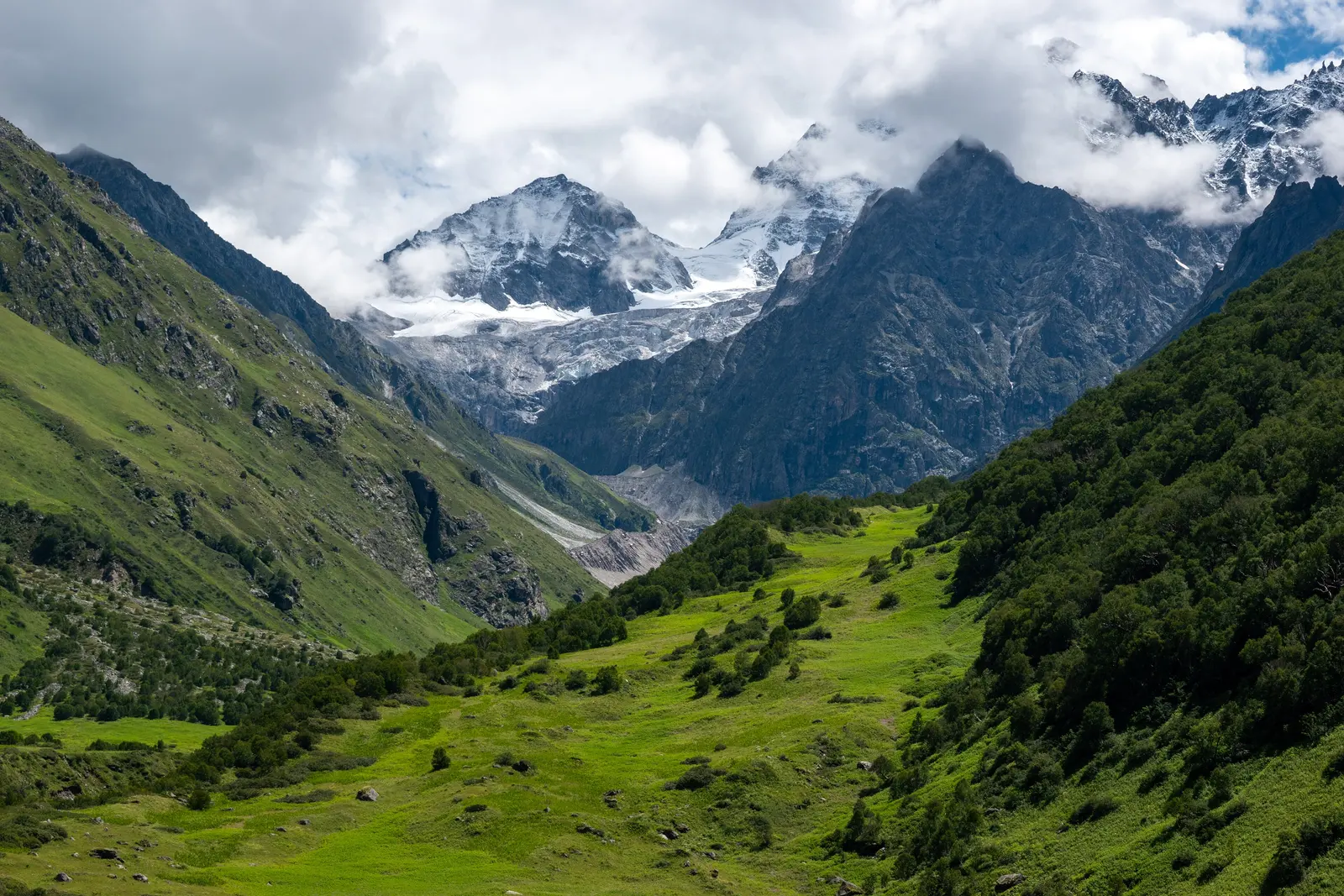
A meadow of 300+ Himalayan wildflowers that blooms for just 8 weeks a year — the complete guide to India's most extraordinary trek.
 Trekking
Dayara Bugyal Trek: Route, Season & a Complete Guide
One of Uttarakhand's largest, most accessible high-altitude meadows — a beginner-friendly trek from Raithal or Barsu with sweeping Bandarpoonch views.