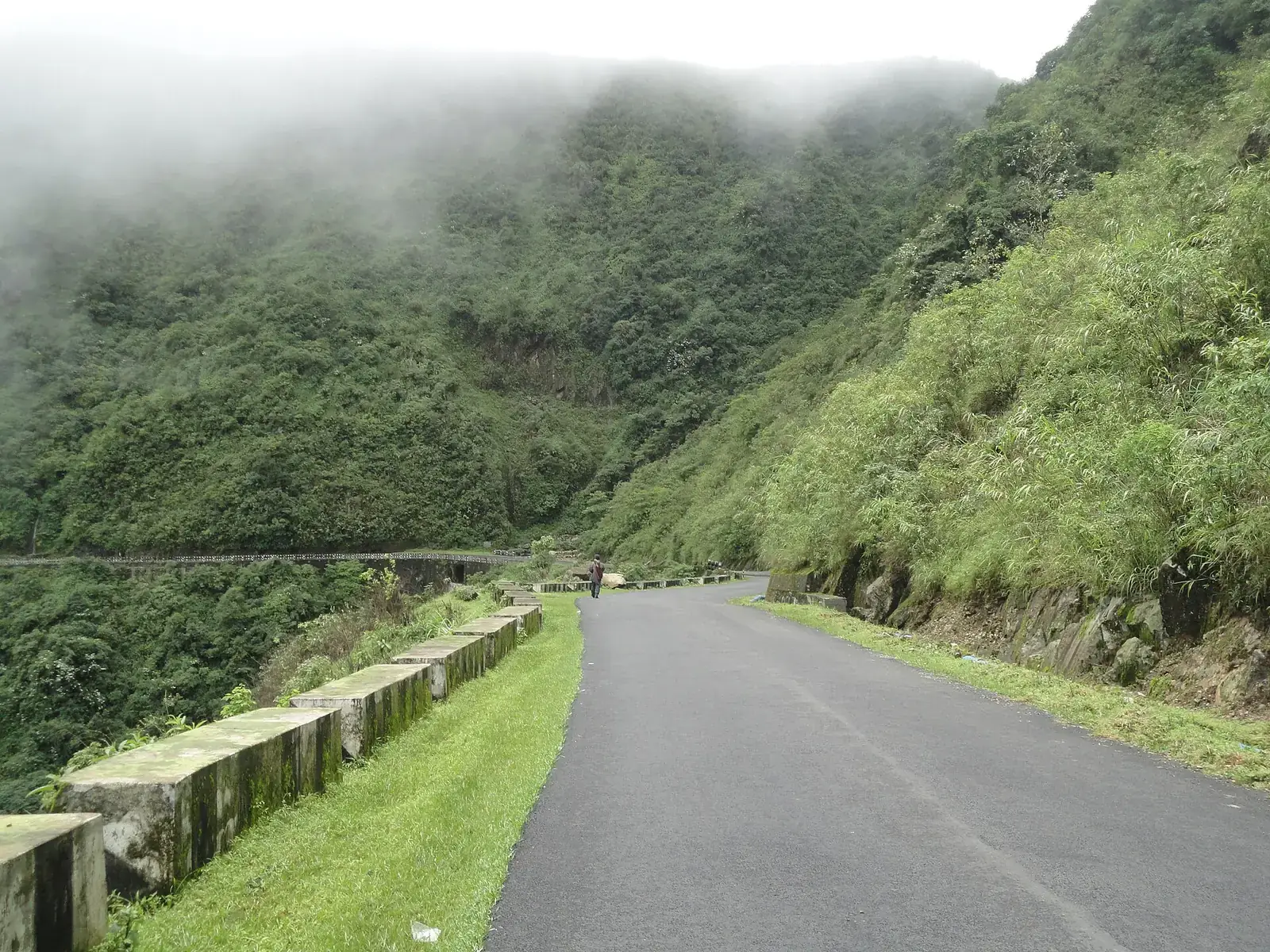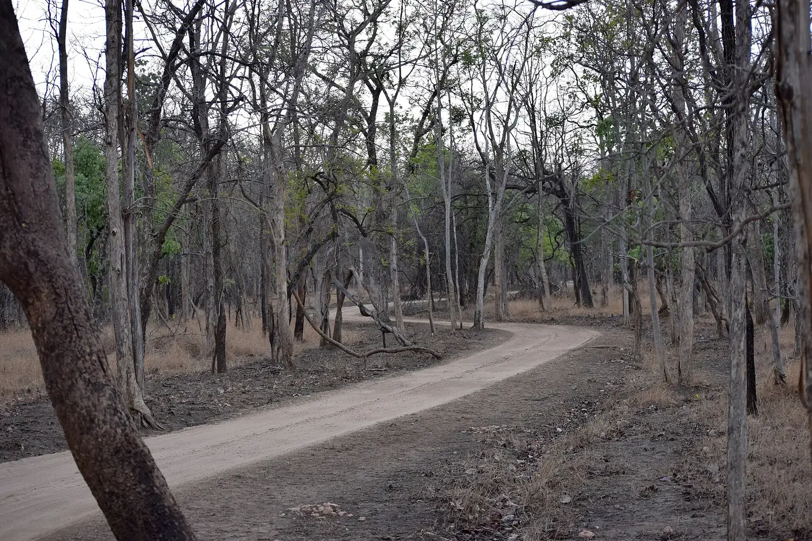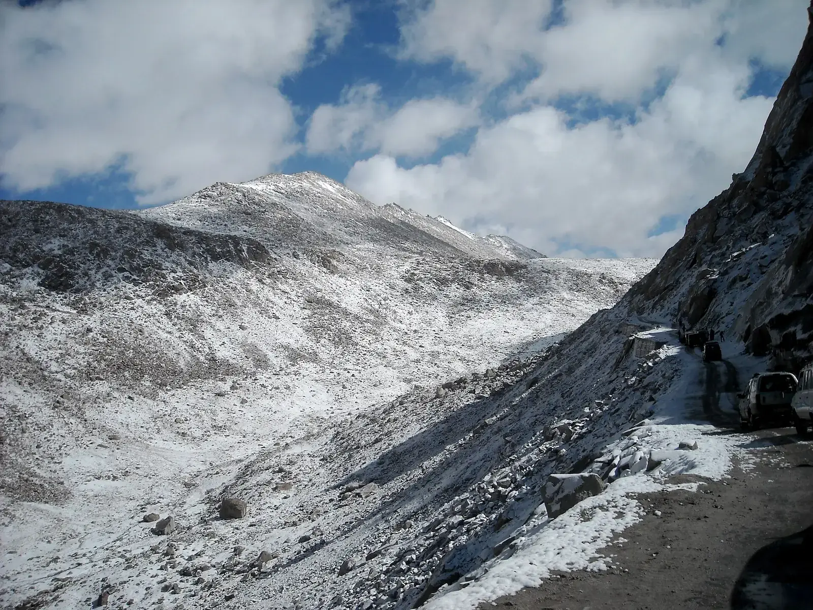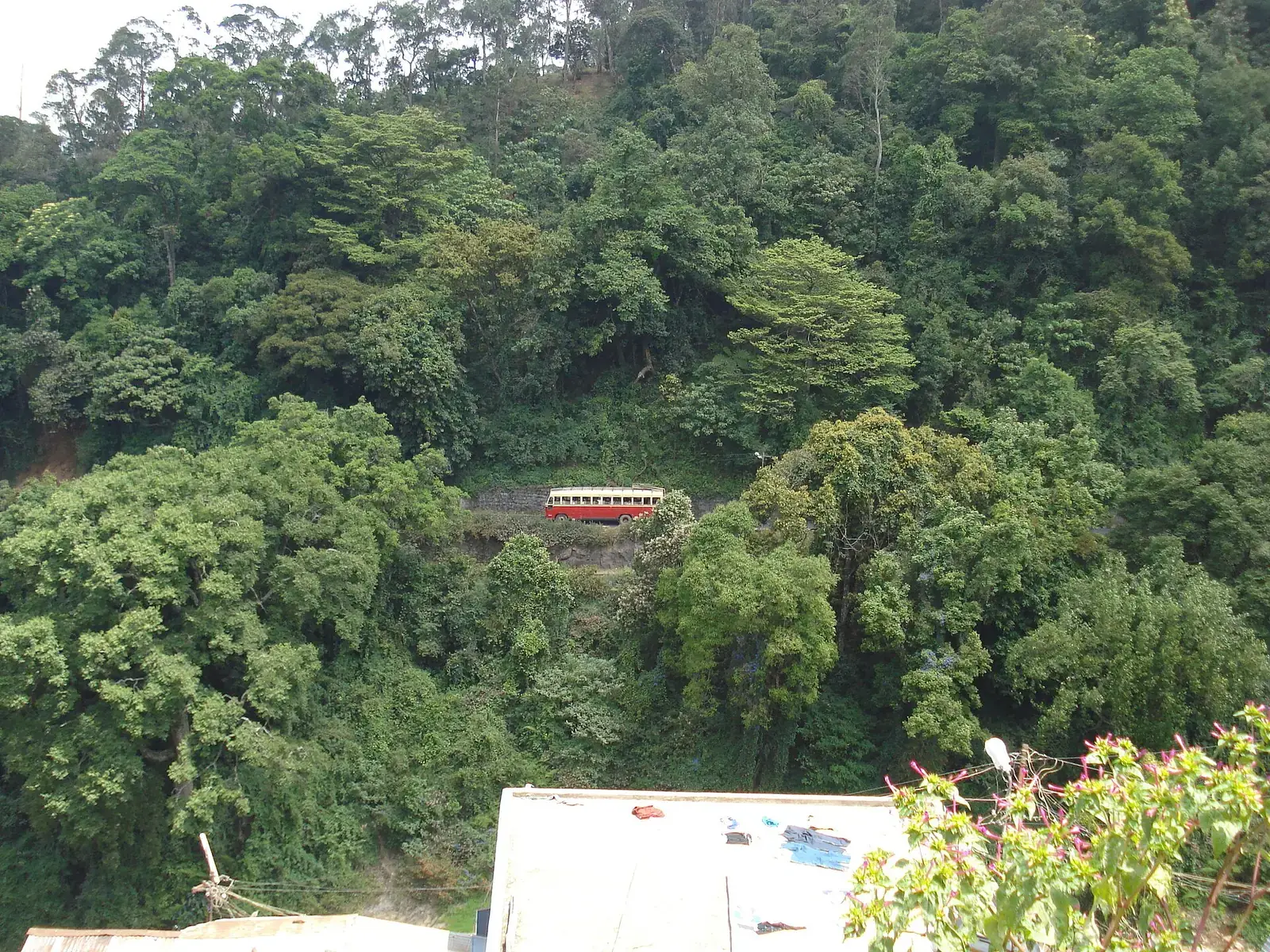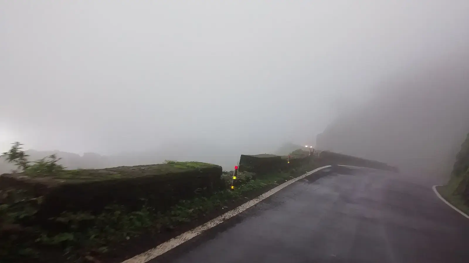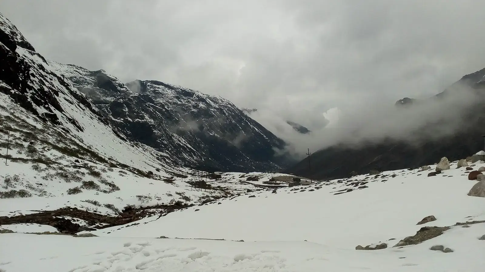
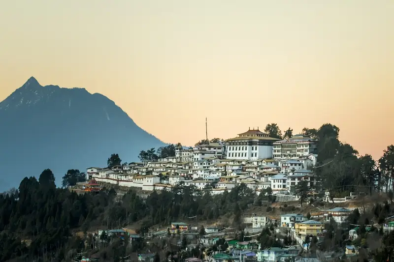
The drive from Guwahati to Tawang covers roughly 450 to 500 km. It crosses the Brahmaputra plains to Tezpur, enters Arunachal Pradesh at Bhalukpong, and climbs through forested hills to Tenga, Bomdila and the Dirang valley. The final day crosses the high country around Sela, now mostly through the Sela tunnel, which opened in March 2024, and descends past Jang to Tawang and its great monastery.
Almost everyone breaks the journey at Dirang or Bomdila, which also helps with acclimatisation before the high passes.
Quick answer
Guwahati to Tawang is about 450 to 500 km via Tezpur, Bhalukpong, Bomdila, Dirang and the Sela tunnel, and is usually driven over two days with a night at Dirang or Bomdila. Indian visitors need an Arunachal Pradesh Inner Line Permit. October to April is best; Sela Pass has snow from about December to February. Bum La, near the border, needs a separate permit from Tawang.
Key takeaways
- Plan two days each way, with a night at Dirang or Bomdila.
- The Sela tunnel (opened March 2024) makes the route more reliable in winter.
- Get your Arunachal Inner Line Permit online before travelling; it is checked at Bhalukpong.
- Snow is likely around Sela from December to February, but not guaranteed.
- Bum La and some areas near the border need extra permits from the district administration.
The route at a glance
| Leg | Approx. distance | Notes |
|---|---|---|
| Guwahati–Tezpur | About 180 km | Brahmaputra plains; Tezpur's temples and parks |
| Tezpur–Bhalukpong | About 60 km | ILP check at the Arunachal border |
| Bhalukpong–Tenga–Bomdila | About 100 km | Forested climb; Bomdila monastery |
| Bomdila–Dirang | About 40 km | Apple and kiwi orchards; hot springs |
| Dirang–Sela tunnel–Jang–Tawang | About 135 km | Sela lake and pass; Jang (Nuranang) falls |
Stops along the way
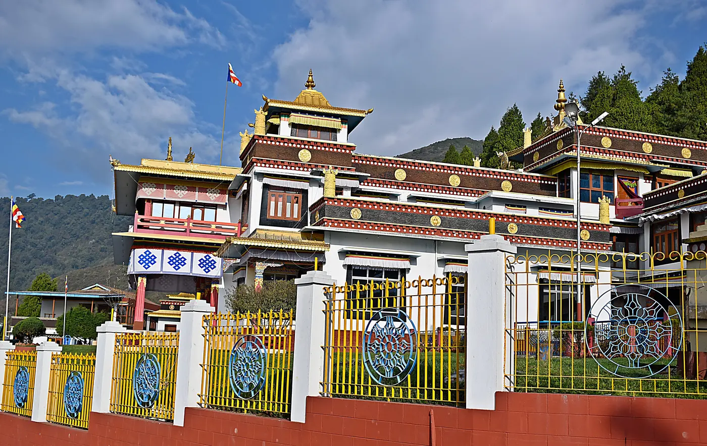
Dirang
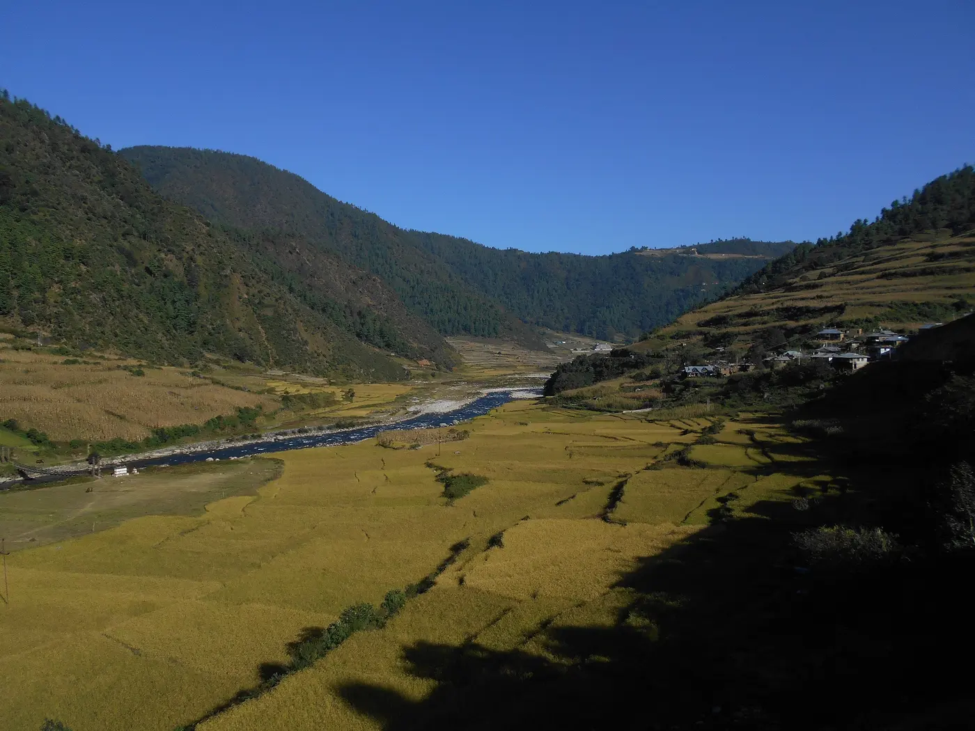
A valley of orchards, a dzong and a sheep-breeding farm; the best place to sleep before Sela.
Sela Pass and lake
A high pass and lake that are often frozen in winter; the tunnel bypasses the top.
Jang
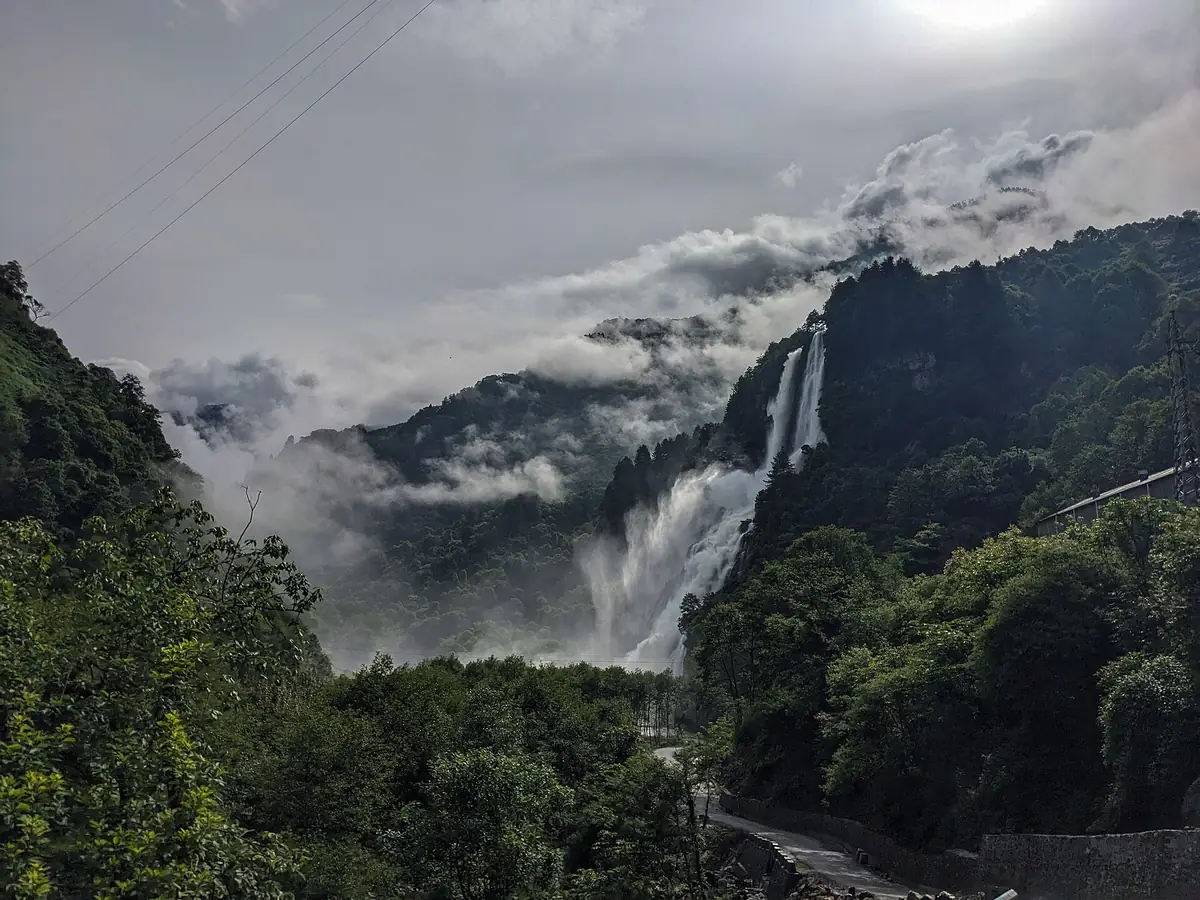
Nuranang (Jang) falls, a short detour before Tawang.
A week-long return plan
| Day | Route | Overnight |
|---|---|---|
| 1 | Guwahati–Tezpur or Bhalukpong | Tezpur or Bhalukpong |
| 2 | Bhalukpong–Bomdila–Dirang | Dirang |
| 3 | Dirang–Sela–Jang–Tawang | Tawang |
| 4 | Tawang monastery, war memorial; Bum La with permit | Tawang |
| 5 | Tawang–Dirang | Dirang |
| 6 | Dirang–Guwahati (long day) or via Nameri | Guwahati or Nameri |
Permits
- Indian visitors need an Arunachal Pradesh Inner Line Permit, available online; carry printed copies.
- Bum La and some border areas need an additional permit arranged in Tawang, usually a day ahead.
- Foreign nationals need a Protected Area Permit.
- Rules change; check the official Arunachal portal before travel.
Once you arrive
Car, driver and fuel
Most travellers hire a car with a driver from Guwahati or Tezpur, as drivers know the road, the checkposts and the weather. Fuel is available in Tezpur, Bhalukpong, Bomdila, Dirang and Tawang, but fill up whenever you can. Mobile networks work in towns but drop out on long stretches, especially around Sela.
When to go
October to April is best, with clear skies from October to December. Snow is likely around Sela and Tawang from December to February, which is beautiful but cold; the tunnel has improved winter access, but ice and snow can still slow the road. The monsoon (June to September) brings landslides on the lower sections between Bhalukpong and Bomdila.
Safety
- Above about 3,000 m, ascend gradually, rest on arrival and see a doctor before travel if you have heart, lung or blood-pressure conditions.
- Carry snow chains or check conditions in winter.
- Do not stop in restricted military areas or photograph installations.
- Mountain roads close or slow down after heavy rain, snow or landslides; check road status and weather updates each morning and avoid driving after dark.
- Permits, tolls, entry fees, pass openings and road works change; check official sources shortly before you travel.
- Distances and driving times are approximate and vary with traffic, weather, road works and stops.
What to pack
- Warm layers, gloves and a warm hat
- Printed ILP and ID copies
- Sunscreen and sunglasses for snow
- Cash; ATMs are limited beyond Bomdila
Want the route, stops and stays planned around your dates?
FAQs
How far is Tawang from Guwahati by road?
About 450 to 500 km via Tezpur, Bomdila, Dirang and the Sela tunnel.
How many days does the drive take?
Two days each way, with a night at Dirang or Bomdila.
Do I need a permit for Tawang?
Yes. Indian visitors need an Arunachal Pradesh Inner Line Permit; Bum La needs an additional permit.
Is the Sela tunnel open?
Yes. It opened in March 2024.
When can I see snow on the way to Tawang?
Usually from December to February around Sela, though it is never guaranteed.
Is the Guwahati to Tawang road good?
It is mostly paved but winding and slow, with landslides in the monsoon.