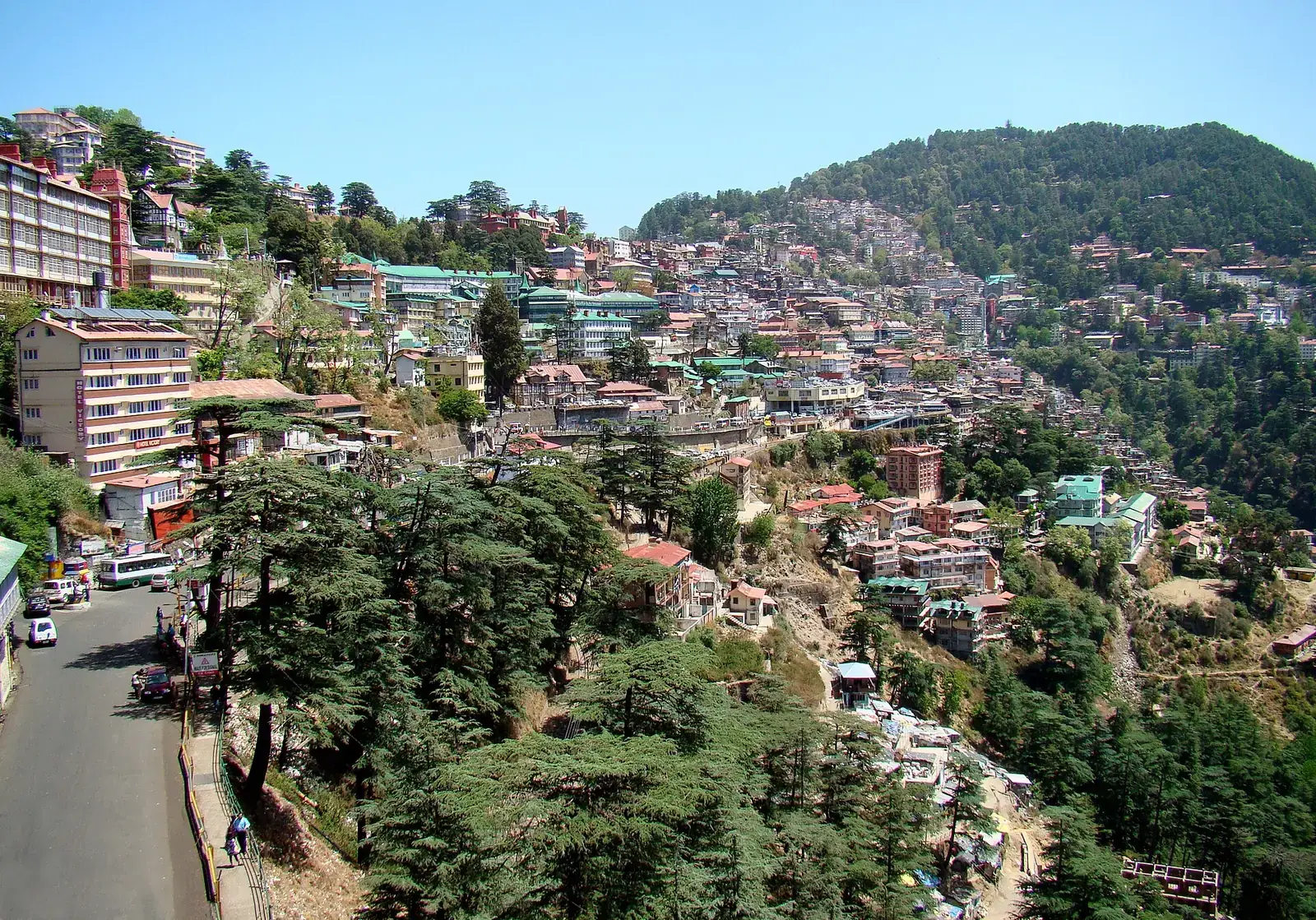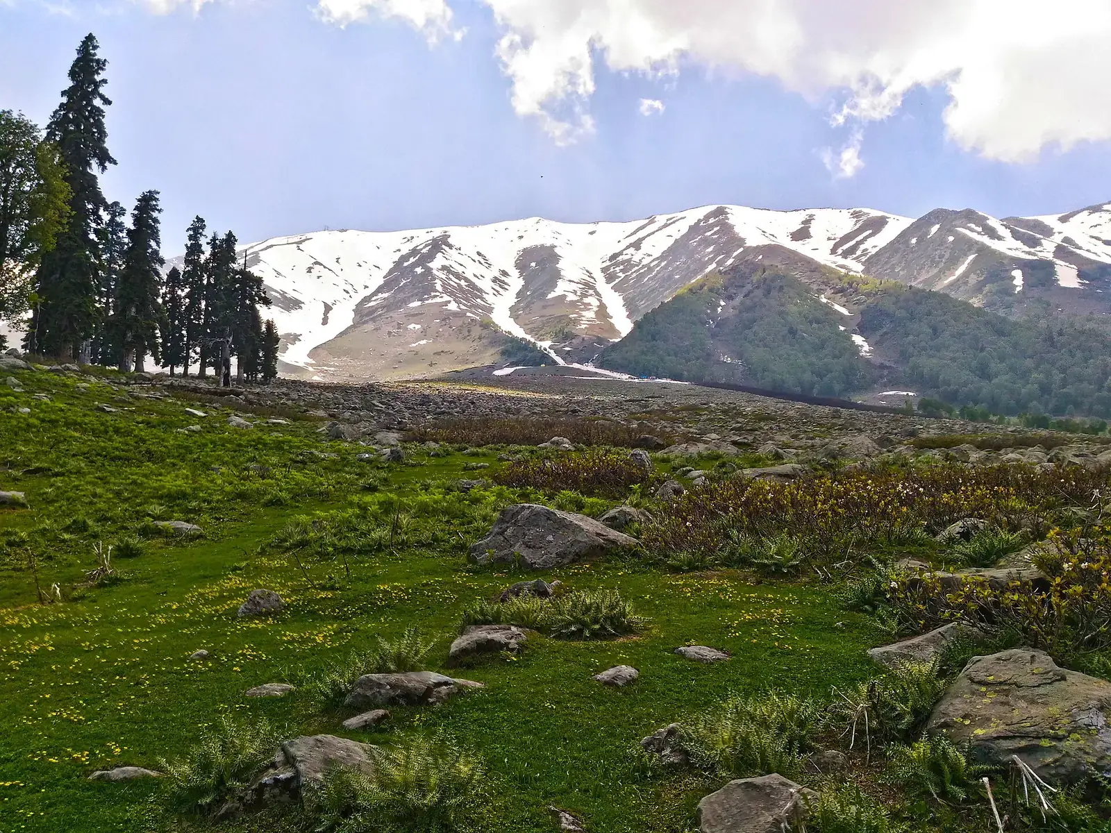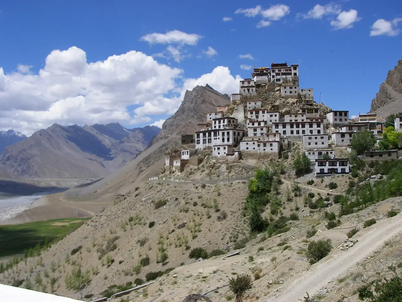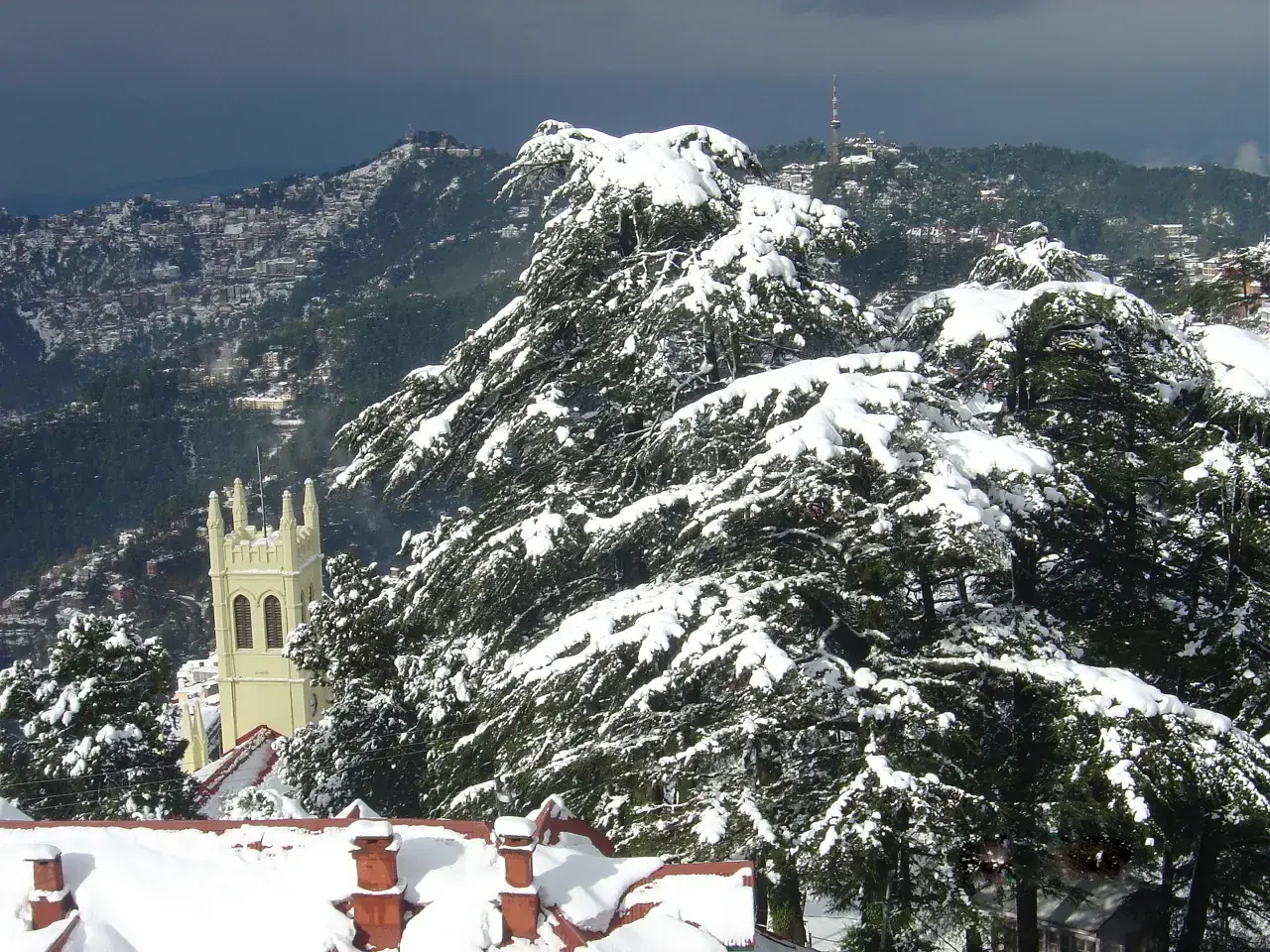
India's mountain roads range from the high passes of Ladakh, among the highest motorable roads in the world, to the hairpin ghat roads of the Nilgiris and the Sahyadri. A good mountain road trip is less about distance than about daylight, weather and a realistic daily pace.
This guide outlines the classic routes by region, with the seasons they open and what to plan for. For motorcycle-specific trips, see our Adventure guide.
Quick answer
The best mountain road trips in India include Manali to Leh and Srinagar to Leh (roughly June to September), the Spiti circuit from Shimla through Kinnaur (open for more of the year), the Atal Tunnel to Lahaul, the Kumaon loop in Uttarakhand, Gangtok to North Sikkim and the Zuluk route, Guwahati to Tawang over the Sela Pass, Shillong to Sohra and Dawki, and the hill roads of Kerala, the Nilgiris and the Sahyadri. Drive in daylight and allow buffer days.
Key takeaways
- High-altitude routes (Manali-Leh, Srinagar-Leh, Kunzum Pass) open only in summer after snow clearance.
- The Spiti circuit via Kinnaur is usually accessible for longer than the Manali side.
- Permits are needed for parts of Ladakh, North Sikkim, the Zuluk route and all of Arunachal.
- Plan roughly 150 to 250 km a day in the mountains, and never drive after dark.
- The monsoon brings landslides to Himachal, Uttarakhand and the Northeast.
Classic routes at a glance
| Route | Region | Season | Notes |
|---|---|---|---|
| Manali to Leh | Himachal and Ladakh | About June to September | High passes; acclimatise |
| Srinagar to Leh | Kashmir and Ladakh | About May or June to October | Zoji La; Kargil and Drass on the way |
| Spiti circuit via Kinnaur | Himachal | Most of the year to Kaza; full loop in summer | Kunzum Pass opens in summer |
| Manali to Sissu via Atal Tunnel | Himachal | All year, weather permitting | No permit for the tunnel |
| Kumaon loop | Uttarakhand | March to June, October to December | Nainital, Kausani, Munsiyari |
| Gangtok to North Sikkim; Zuluk | Sikkim | March to May, October to December | Permits via registered operators |
| Guwahati to Tawang | Assam and Arunachal | October to April; roads open most of the year | ILP; Sela Tunnel |
| Shillong, Sohra and Dawki | Meghalaya | October to May | Fog and heavy rain in the monsoon |
| Munnar, Thekkady and Vagamon | Kerala | September to May | Narrow, busy hill roads |
| Nilgiri and Valparai ghats | Tamil Nadu | October to June | Many hairpin bends; e-pass for the Nilgiris |
| Sahyadri ghats | Maharashtra | All year; monsoon is scenic | Weekend traffic |
The Himalaya
Ladakh
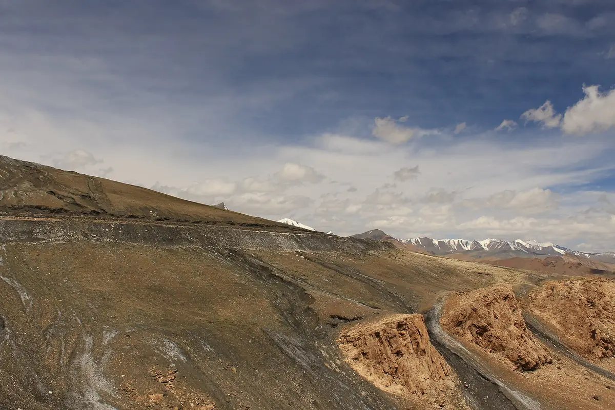
The Manali-Leh and Srinagar-Leh highways, with Nubra and Pangong beyond Leh.
Spiti and Lahaul
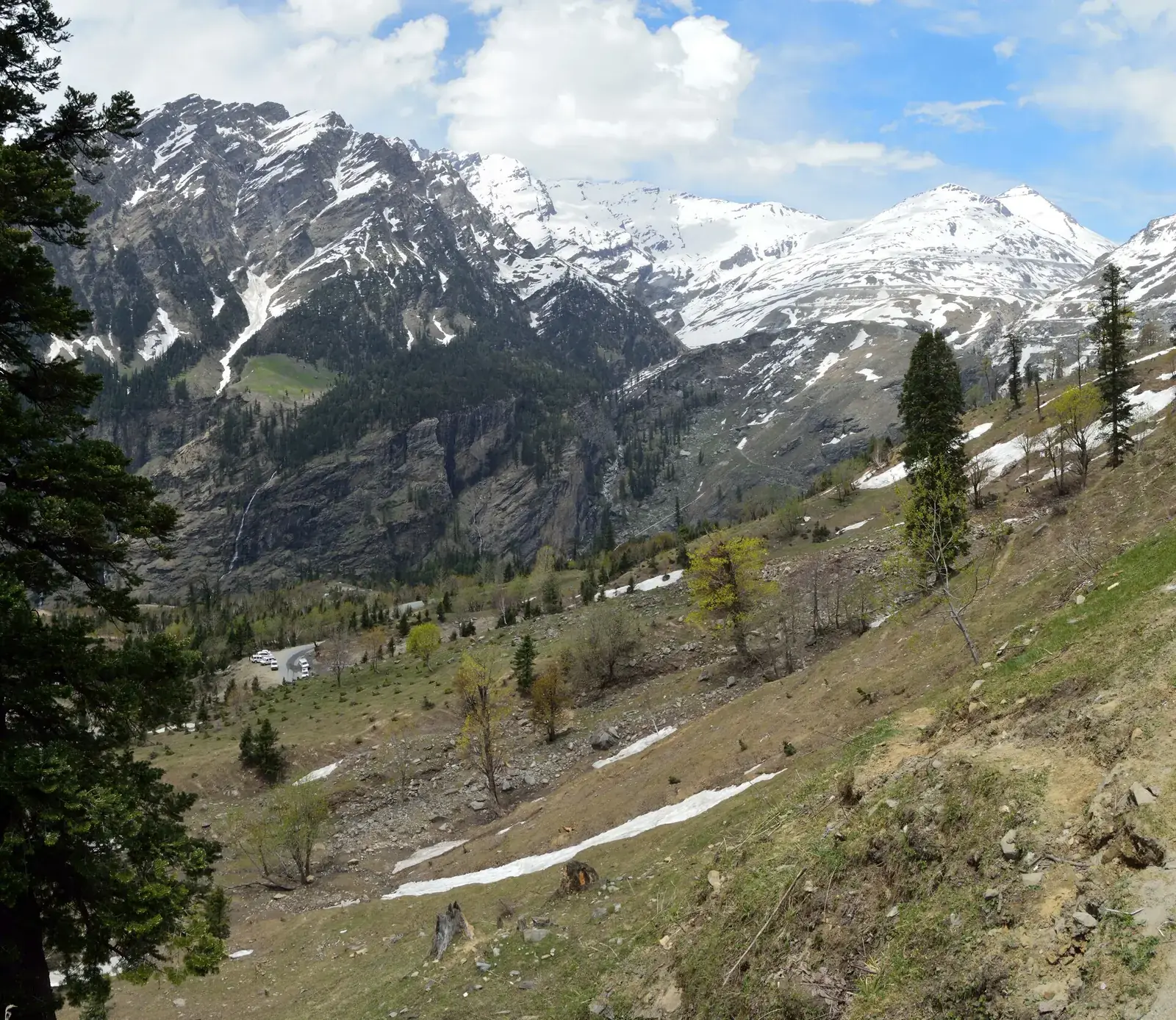
Shimla to Kaza through Kinnaur, over the Kunzum Pass and back to Manali via the Atal Tunnel.
Uttarakhand
The Kumaon loop from Nainital to Kausani, Chaukori and Munsiyari, or Rishikesh to Chopta.
The eastern Himalaya and Northeast
Sikkim, Tawang and Meghalaya
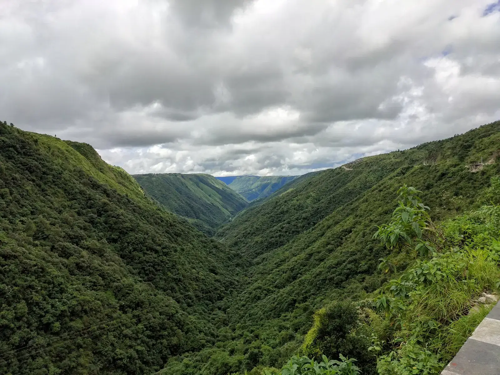
North Sikkim's valleys and the Zuluk switchbacks, the Tawang road over Sela, and Meghalaya's plateau roads to Sohra and Dawki.
The Western Ghats
Kerala, Tamil Nadu, Karnataka and Maharashtra
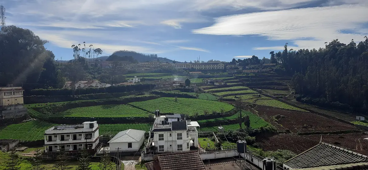
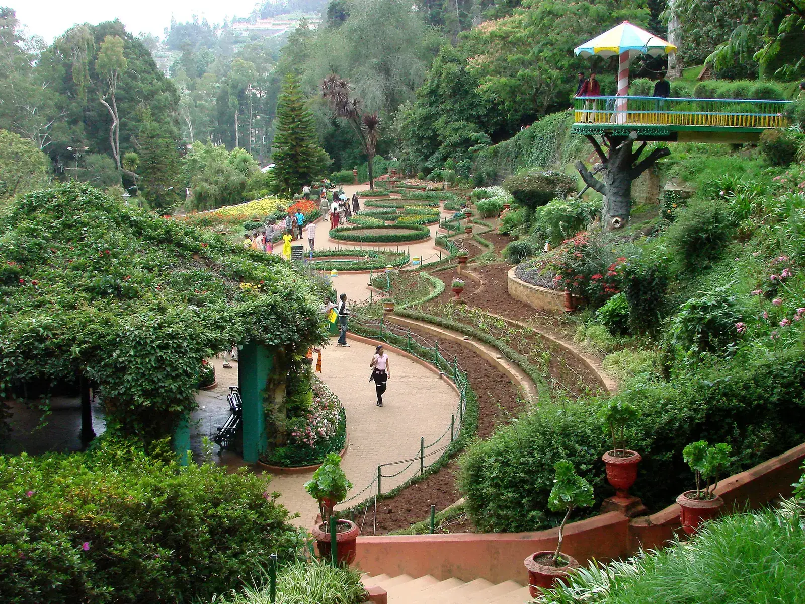
Tea-country roads between Munnar and Thekkady, the Nilgiri ghats with their hairpin bends, Valparai's 40 bends, coffee roads in Coorg and Chikmagalur, and Sahyadri ghats near Mumbai and Pune.
Planning a mountain drive
- Plan roughly 150 to 250 km a day in the Himalaya; less on bad roads.
- Start early and stop before dark.
- Carry fuel reserves in remote areas; pumps are far apart in Spiti and Ladakh.
- Add buffer days for landslides, snow or road works.
- Hire local drivers for high passes if you are not experienced in mountain driving.
- Check permit needs and apply in advance where possible.
Vehicles and driving
A car with good ground clearance helps on rough high-altitude stretches, though many routes are now well paved. Drive in low gear on descents to spare the brakes, give way to uphill traffic on narrow roads, honk on blind bends, and never overtake on a curve. In many hill states, local taxi unions operate their own vehicles for sightseeing, so plan to use them where required.
Safety
- Mountain roads close or slow down after heavy rain, snow or landslides; check road and weather updates, and avoid driving after dark.
- Permits, e-passes and pass openings change; check official portals before you travel.
- Acclimatise before crossing high passes and descend if altitude symptoms worsen.
- Keep emergency numbers, a first-aid kit, water and snacks in the vehicle.
What to pack
- Printed permits and vehicle papers
- Warm layers even in summer
- Basic tools, spare tyre and tow rope
- Offline maps and a power bank
Want to combine several mountain destinations into one trip?
FAQs
Which is the best mountain road trip in India?
Manali to Leh and the Spiti circuit are the most famous; the Kumaon loop, North Sikkim and the Tawang road are other favourites.
When is the Manali-Leh highway open?
Usually from around June to September, depending on snow clearance.
Do I need permits for mountain road trips?
For parts of Ladakh, North Sikkim, the Zuluk route and all of Arunachal Pradesh, yes.
How many kilometres can I drive a day in the mountains?
About 150 to 250 km in the Himalaya, depending on road condition.
Is it safe to drive in the hills during the monsoon?
Landslides are common in the Himalaya and parts of the Northeast; keep plans flexible and avoid night driving.