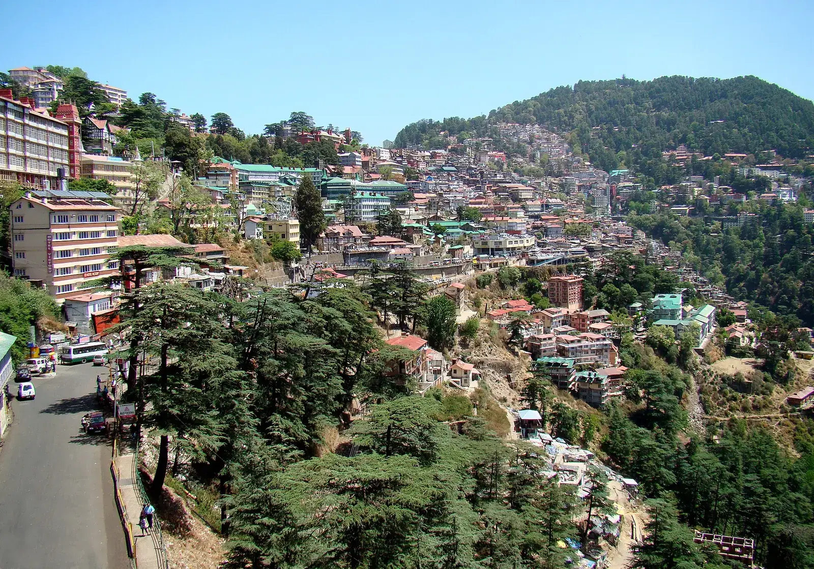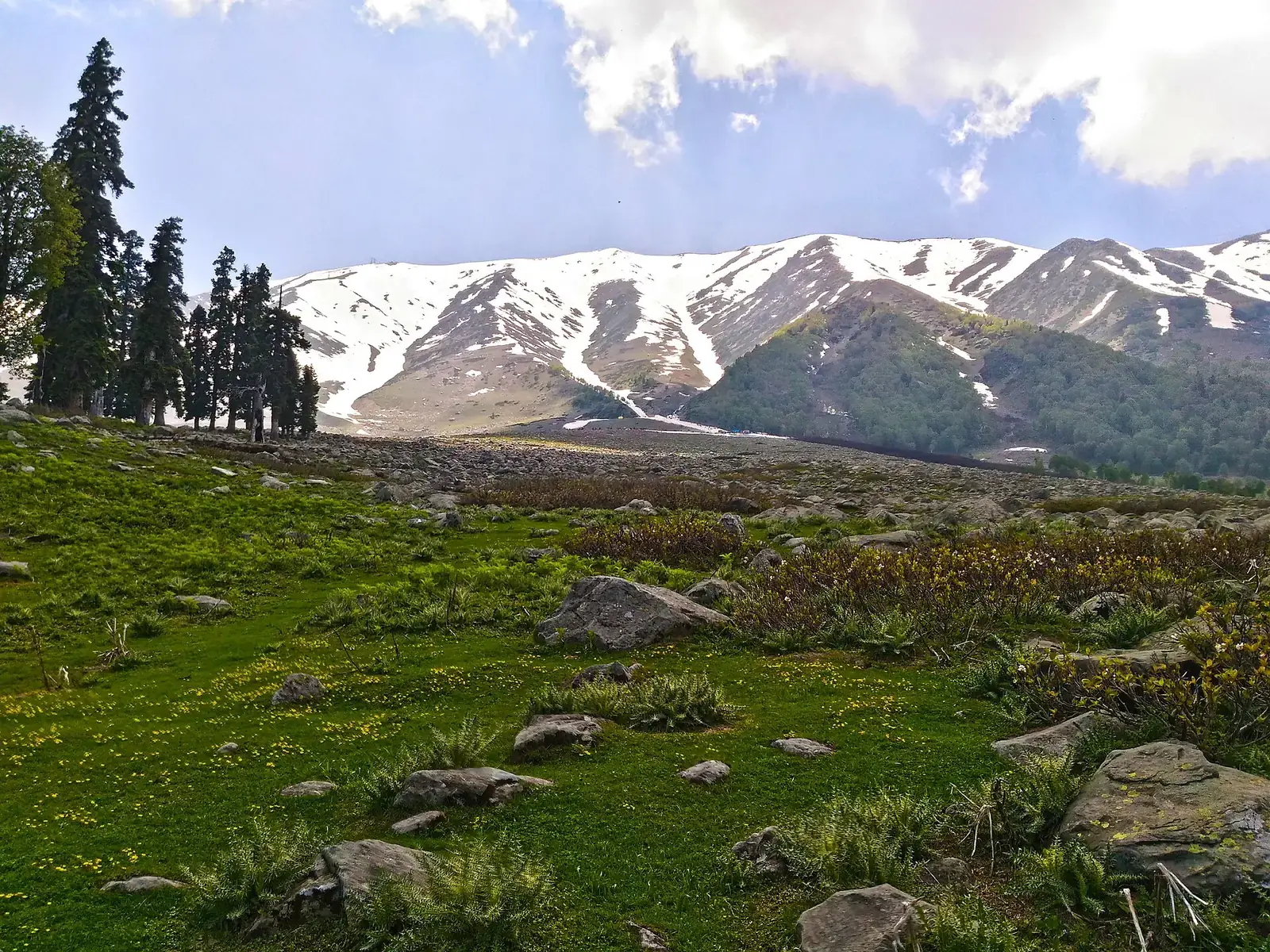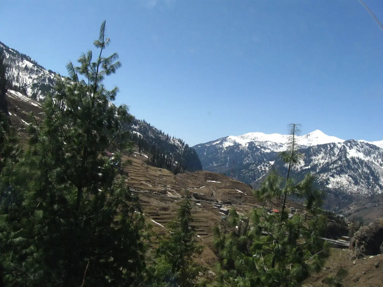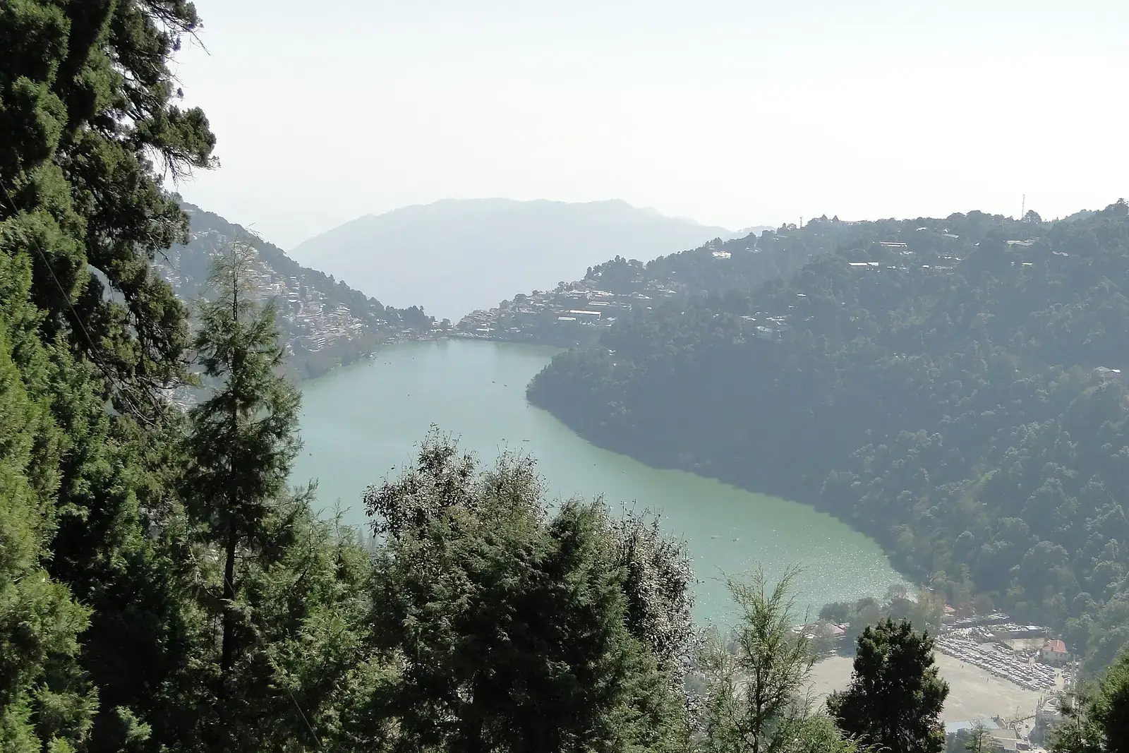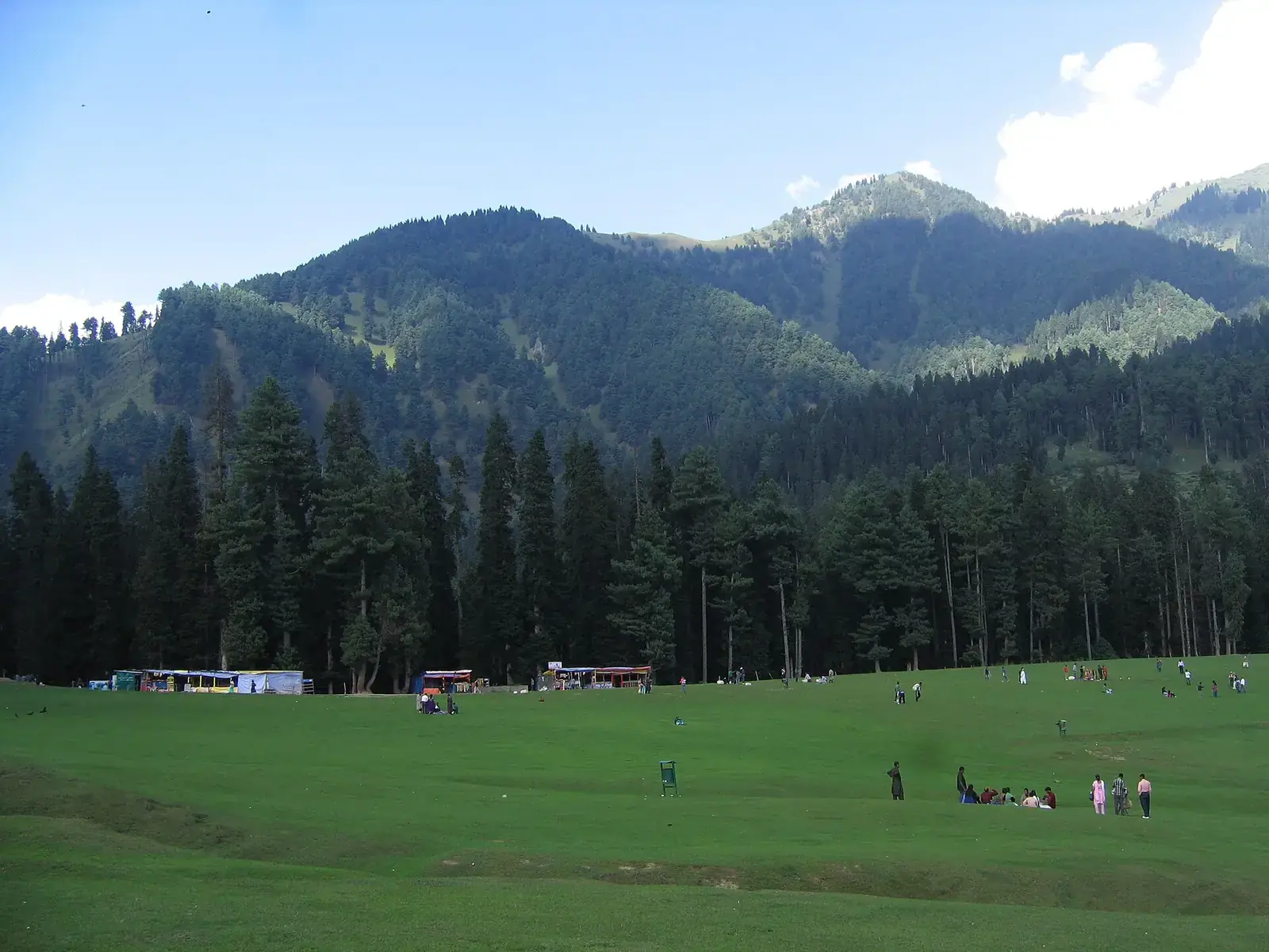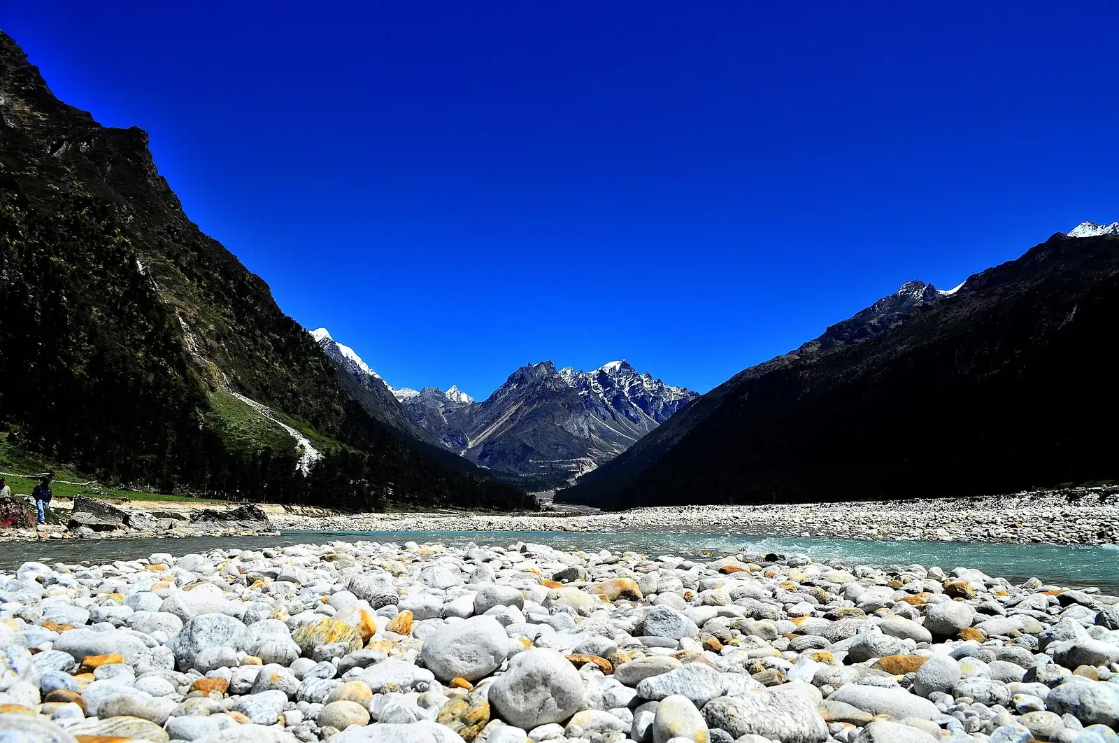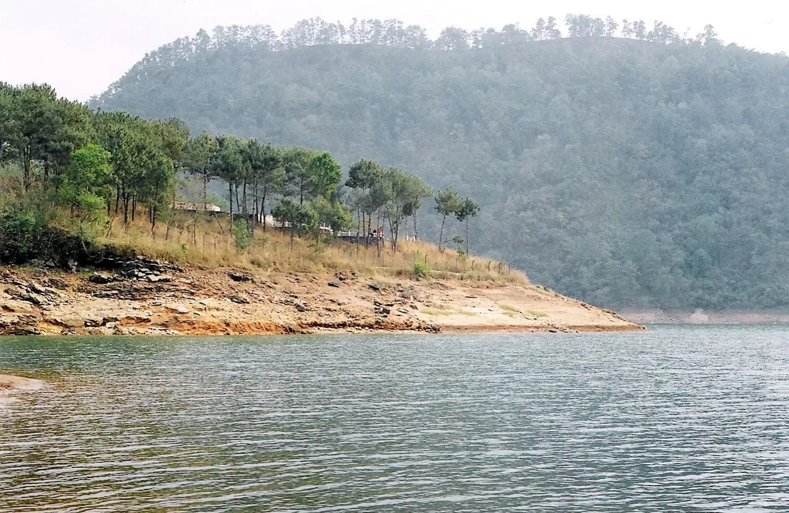
Meghalaya sits on a plateau between Assam and Bangladesh, and nearly all of it is hill country. Shillong, the capital, is a lively town with a strong music scene. South of it, Sohra (Cherrapunji) and the Mawsynram area receive some of the highest rainfall recorded anywhere, feeding spectacular waterfalls and the living root bridges built by Khasi villagers.
Unlike most hill regions, Meghalaya is often at its most dramatic in the monsoon, though that is also when trails are slippery.
Quick answer
Meghalaya's main hill destinations are Shillong and Umiam Lake, Sohra (Cherrapunji) with its waterfalls, caves and the Nongriat root bridges, Mawlynnong and Dawki near the Bangladesh border, Laitlum, and Jowai and Tura in the Jaintia and Garo hills. October to May is the most comfortable season; June to September brings the heaviest rain and the fullest waterfalls. Guwahati is the gateway, about three hours from Shillong.
Key takeaways
- Shillong is the base, about three hours by road from Guwahati.
- Sohra's waterfalls are fullest from June to September.
- The double-decker root bridge at Nongriat involves several thousand steps down and back up.
- Dawki's river is clearest from about November to April.
- Stay on paths and respect village rules; many sites are community-managed.
At a glance
| Place | Known for | From Shillong |
|---|---|---|
| Shillong | Ward's Lake, Shillong Peak, music, markets | Base |
| Umiam Lake | Reservoir and viewpoints | About 30 minutes |
| Sohra (Cherrapunji) | Nohkalikai and Seven Sisters falls, Mawsmai cave | About 1.5 hours |
| Nongriat | Double-decker living root bridge | Via Tyrna, then a steep walk |
| Mawlynnong | Village and root bridge | About 2.5 hours |
| Dawki | Clear Umngot river, border town | About 2.5 hours |
| Laitlum | Canyon views | About 1 hour |
Shillong
Shillong
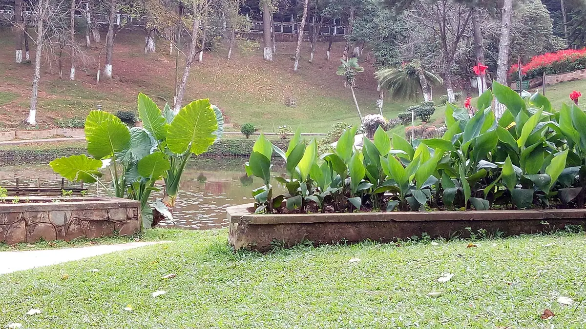
Ward's Lake, the Don Bosco museum, Shillong Peak, Police Bazaar and the music scene; Umiam Lake on the way from Guwahati.
Sohra and the south
Sohra
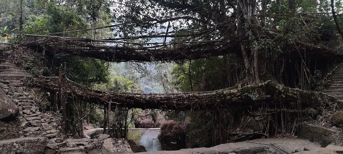
Nohkalikai Falls, Seven Sisters Falls, Mawsmai cave and the walk down to the root bridges of Nongriat.
Mawlynnong and Dawki
A well-kept Khasi village and the clear Umngot river at Dawki.
Jaintia and Garo hills
- Jowai and the Jaintia hills: waterfalls, monoliths and caves.
- Tura and the Garo hills: forests, Nokrek National Park and the Wangala festival.
- Laitlum and Mawphlang's sacred forest near Shillong.
Culture and respect
Meghalaya's Khasi, Jaintia and Garo communities have their own traditions, including matrilineal inheritance among the Khasi and Garo. Many sites, such as the root bridges and sacred forests, are managed by villages that charge a small fee and set rules on behaviour. Follow them, carry your litter back and ask before photographing people.
Where to stay
Shillong has the most choice. Around Sohra, resorts and homestays on the plateau edge give access to the falls and treks, and Nongriat has simple homestays for those who want to stay down in the valley. Mawlynnong and Dawki have guesthouses and camps.
Getting there and around
Guwahati, in Assam, has the nearest major airport and railway station; Shillong is about three hours away by road, past Umiam Lake. Shillong's own airport at Umroi has limited flights. Shared taxis link Shillong with Sohra, Dawki and Jowai, but a hired car makes it much easier to combine viewpoints and villages in a day. Roads to Sohra and Dawki are good, but fog and rain can slow them considerably.
A four-day plan
| Day | Plan |
|---|---|
| 1 | Guwahati to Shillong via Umiam Lake; evening in Police Bazaar |
| 2 | Sohra: Nohkalikai, Seven Sisters Falls, Mawsmai cave |
| 3 | Walk to the Nongriat root bridges, or Laitlum and Mawphlang |
| 4 | Mawlynnong and Dawki, then back to Shillong or Guwahati |
Food to try
- Jadoh, rice cooked with pork, a Khasi staple.
- Dohneiiong, pork cooked with black sesame.
- Tungrymbai, fermented soybean.
- Local breakfast teas and snacks in Shillong's markets.
When to go
- October to December: clear, cool and good for walks.
- January to March: dry and cool; Dawki's water is clearest.
- April to May: pre-monsoon showers begin.
- June to September: the heaviest rain; waterfalls at their peak, but slippery trails and landslides.
Safety
- Mountain roads close or slow down after heavy rain, snow or landslides; check road and weather updates, and avoid driving after dark.
- Permits, e-passes, ropeways and pass openings change; check official portals before you travel.
- Carry warm layers even in summer; nights in the hills are cool.
What to pack
- Rain jacket and quick-dry clothes
- Shoes with good grip
- Light warm layer
- Small towel and spare socks
Want to combine several mountain destinations into one trip?
FAQs
Which is the best hill station in Meghalaya?
Shillong is the main hill station and base; Sohra is the most visited day trip.
Is Meghalaya good in the monsoon?
The waterfalls are spectacular, but rain is very heavy; trails are slippery and roads can close.
Do I need a permit for Meghalaya?
Indian tourists do not need an Inner Line Permit for Meghalaya; check for any current registration rules.
How hard is the Nongriat root bridge walk?
It involves several thousand steps down and back up; allow most of a day and take it slowly.
How do I reach Shillong?
From Guwahati, about three hours by road.