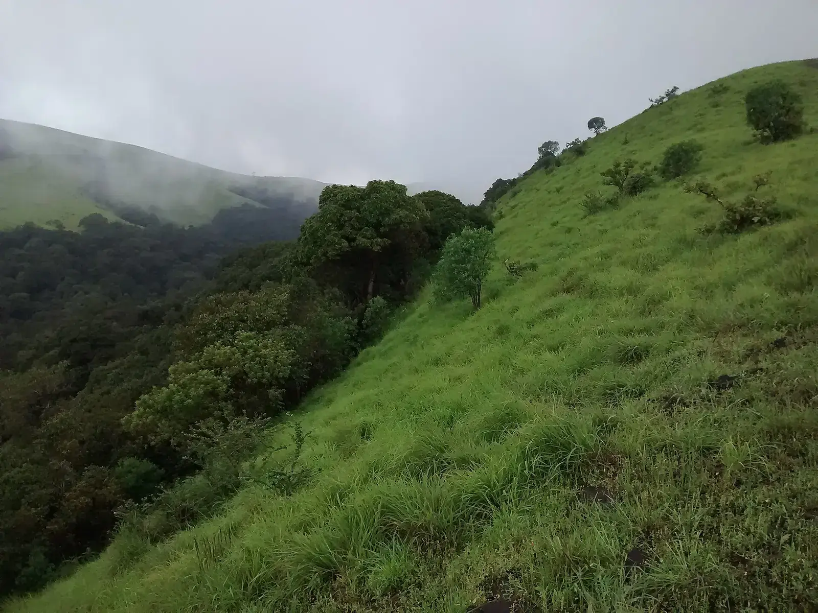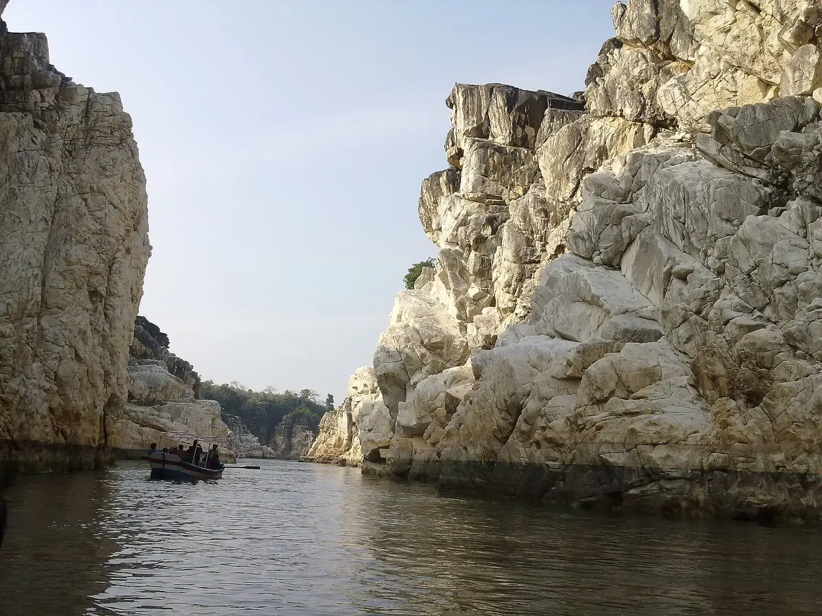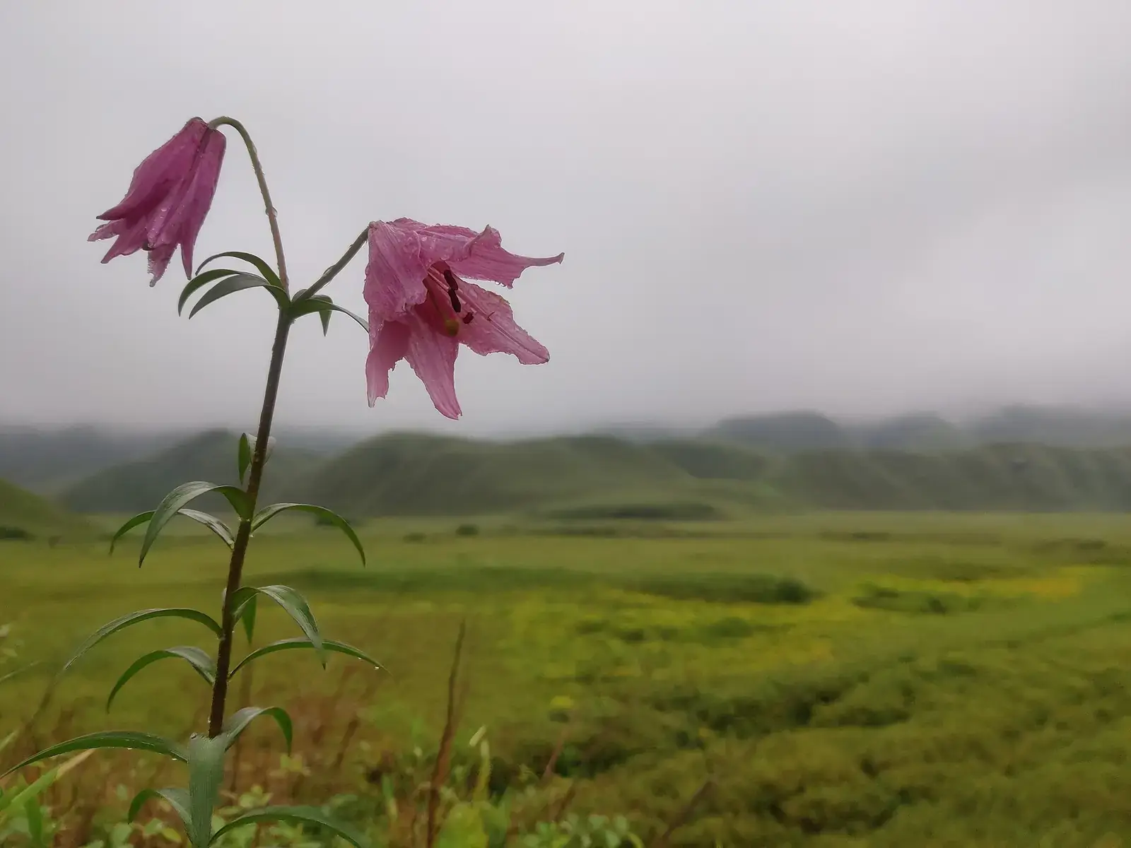
Meghalaya is a plateau of the Khasi, Jaintia and Garo hills. Its southern edge drops steeply to the plains of Bangladesh, and moisture-laden monsoon winds hitting that wall make the Sohra and Mawsynram area one of the wettest places on earth. The result is a landscape of deep gorges, plunging waterfalls, limestone caves and dense forest.
Much of the land belongs to clans and villages rather than the state. Many viewpoints, root bridges and falls charge a small entry fee and set their own rules, and homestays are the best way to stay close to them.
Quick answer
The best places for nature travel in Meghalaya are the living root bridges at Nongriat and near Mawlynnong, the waterfalls and caves around Sohra (Cherrapunji), the clear Umngot river at Dawki and Shnongpdeng, the Laitlum canyons, the Mawphlang sacred grove, Krang Suri falls in the Jaintia hills and Siju cave in the Garo hills. October to April is best for clear water and walks; June to September brings the biggest waterfalls.
Key takeaways
- Indian visitors do not need an Inner Line Permit for Meghalaya; check for any new tourist registration rules.
- Sohra and Mawsynram are among the wettest places on earth; the monsoon is spectacular but very wet.
- The Umngot at Dawki is clearest from roughly November to April.
- The living root bridges are on UNESCO's Tentative List; India submitted the nomination dossier in January 2026.
- Village fees and rules apply at most sites; carry cash.
Meghalaya's nature highlights at a glance
| Place | What to see | Best time |
|---|---|---|
| Nongriat | Double-decker root bridge, Rainbow Falls | October to April |
| Sohra (Cherrapunji) | Nohkalikai, Seven Sisters, Mawsmai cave | June to October for falls |
| Dawki and Shnongpdeng | Clear Umngot river | November to April |
| Laitlum | Canyon viewpoints | October to April |
| Mawlynnong | Village, root bridge, balancing rock | October to April |
| Mawphlang | Sacred grove | All year |
| Krang Suri | Blue pools and falls | October to May |
| Siju | Limestone cave, Simsang river | November to March |
Living root bridges
Nongriat
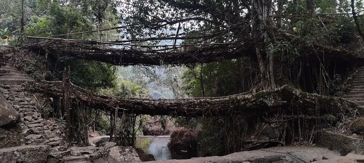
The double-decker bridge at Nongriat is reached by a steep walk of a few thousand steps down from Tyrna, near Sohra. Rainbow Falls is a further walk beyond it. Most people stay a night in the village.
Riwai, near Mawlynnong
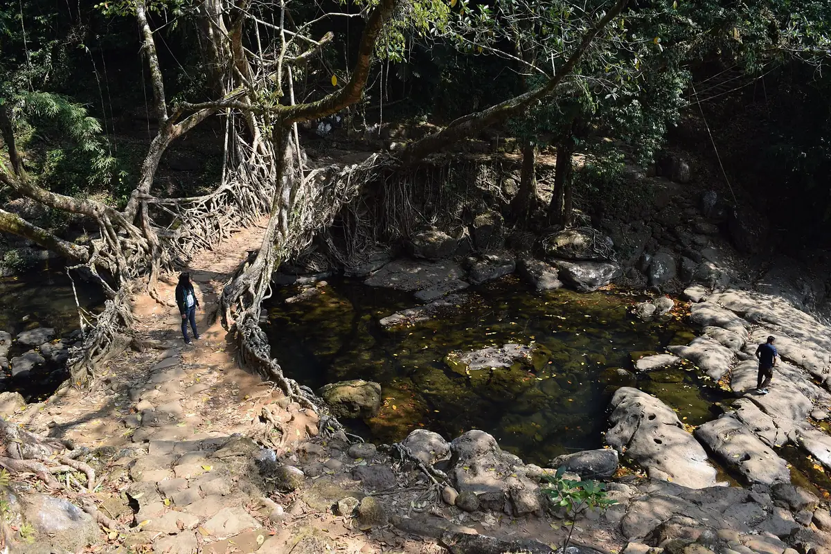
A shorter walk to a single root bridge, often combined with Mawlynnong village.
Khasi communities train the aerial roots of rubber fig trees across streams over many years, and families maintain them over generations. They are called Jingkieng Jri locally and were added to UNESCO's Tentative List in 2022.
Sohra: waterfalls and caves
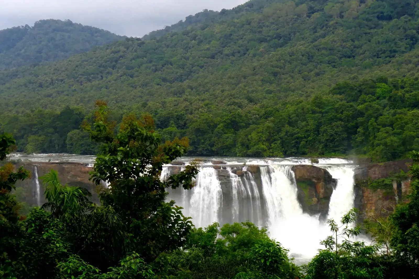
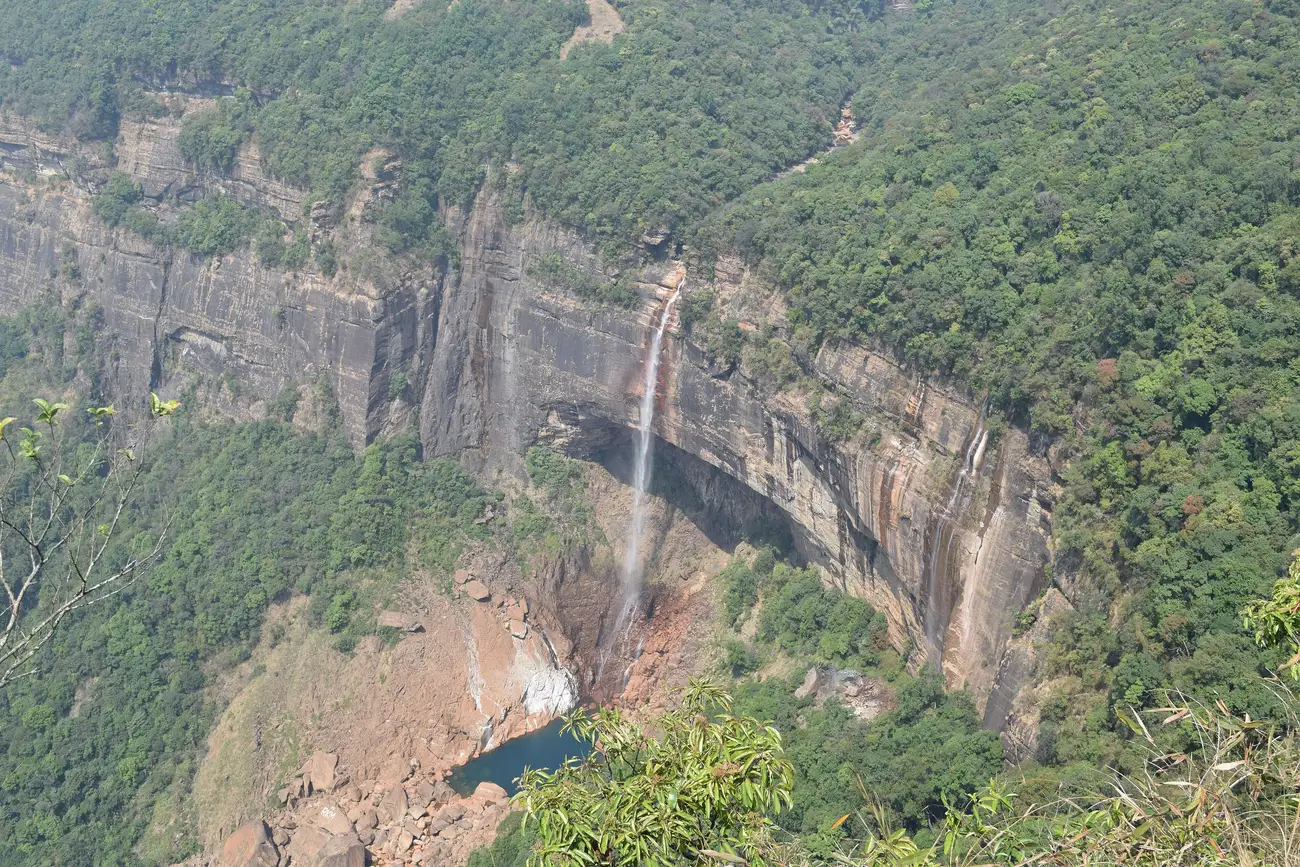
The Sohra (Cherrapunji) plateau ends in cliffs, and waterfalls pour off them in the monsoon. Nohkalikai, the Seven Sisters (Nohsngithiang) and Dainthlen are the best known. Mawsmai cave is a short, lit limestone cave near the town. In the dry months many smaller falls shrink to a trickle.
Clear rivers: Dawki and Shnongpdeng
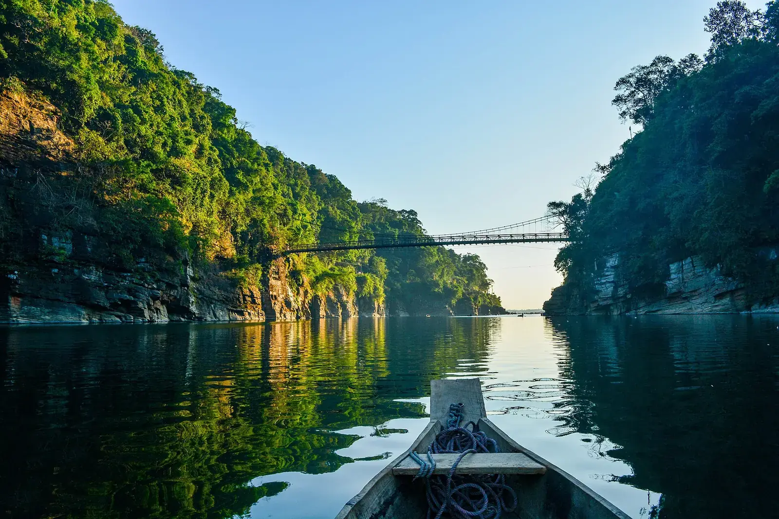
The Umngot river at Dawki, on the Bangladesh border, is famous for water so clear that boats seem to float on air. That clarity comes in the dry season, roughly November to April; in the monsoon the river turns brown and boating may stop. Shnongpdeng, a little upstream, is quieter, with camping and swimming in calm stretches under local supervision.
Sacred groves and forests
Sacred groves, called law kyntang in Khasi, are forests protected by communities for religious reasons. Mawphlang, about an hour from Shillong, is the best known and can be visited with a local guide; nothing may be removed from it. In the Garo hills, Balpakram National Park protects a canyon and plateau.
Jaintia and Garo hills
Krang Suri
A waterfall with blue pools in the Jaintia hills, near Jowai.
Siju cave
A long limestone cave on the Simsang river in the Garo hills; only the first section is open to casual visitors.
Village etiquette
- Pay the entry or guide fee each village sets; it funds upkeep.
- Ask before photographing people and follow rules at sacred sites.
- Carry back all plastic; several villages ban it outright.
- Do not carve, pull or hang on root bridge roots.
When to go
October to April brings clear skies, walkable trails and the clearest rivers. The monsoon (June to September) is when the waterfalls are most dramatic, but visibility at viewpoints can be poor for days and landslides close roads. Spring brings orchids and rhododendrons in parts of the hills.
Safety
- The walk to Nongriat is steep; allow time and carry water.
- Swim only where local operators allow it, and never in fast water after rain.
- Stay on marked trails and viewpoints, and heed local closures after heavy rain.
- Permits, entry rules, seasonal closures and timings change; check official sources before you go.
- Carry your waste back, avoid loud music and never feed wildlife.
What to pack
- Rain jacket and umbrella
- Walking shoes with good grip
- Cash for village fees
- Quick-dry clothes and a torch
Want the forests, waterfalls and viewpoints woven into one trip?
FAQs
What is Meghalaya famous for in nature?
Living root bridges, waterfalls, caves, clear rivers and very high rainfall.
When is the best time to visit Meghalaya?
October to April for walks and clear rivers; June to September for waterfalls.
Do I need a permit for Meghalaya?
Indian visitors do not need an Inner Line Permit. Check for any new tourist registration rules before you go.
How hard is the Nongriat walk?
It is steep, with a few thousand steps down and back up. Most reasonably fit people manage it with rest stops.
When is the Dawki river clearest?
Roughly November to April. It turns muddy in the monsoon.
How many days do I need in Meghalaya?
Five to seven days covers Shillong, Sohra, Nongriat, Mawlynnong and Dawki.