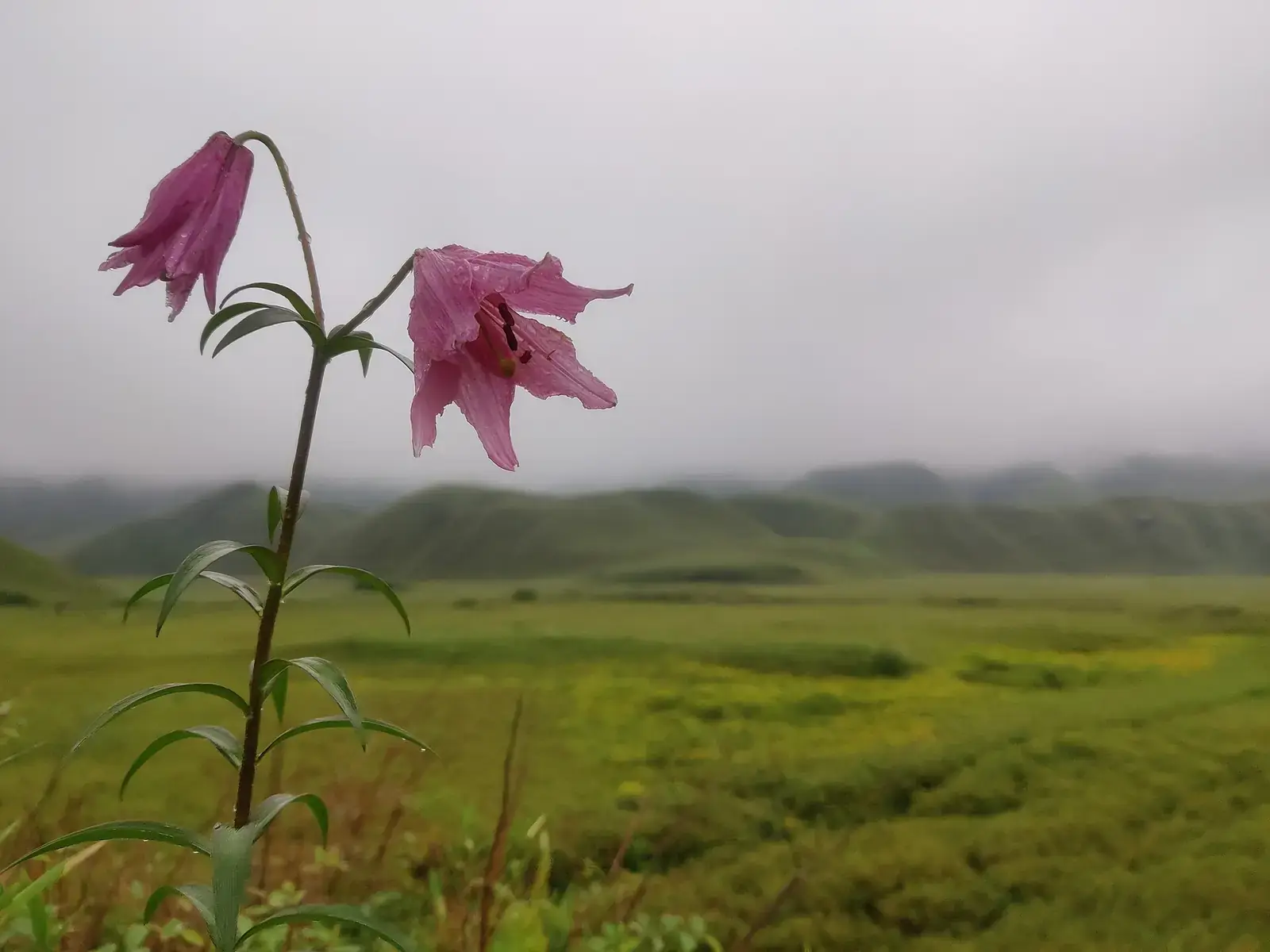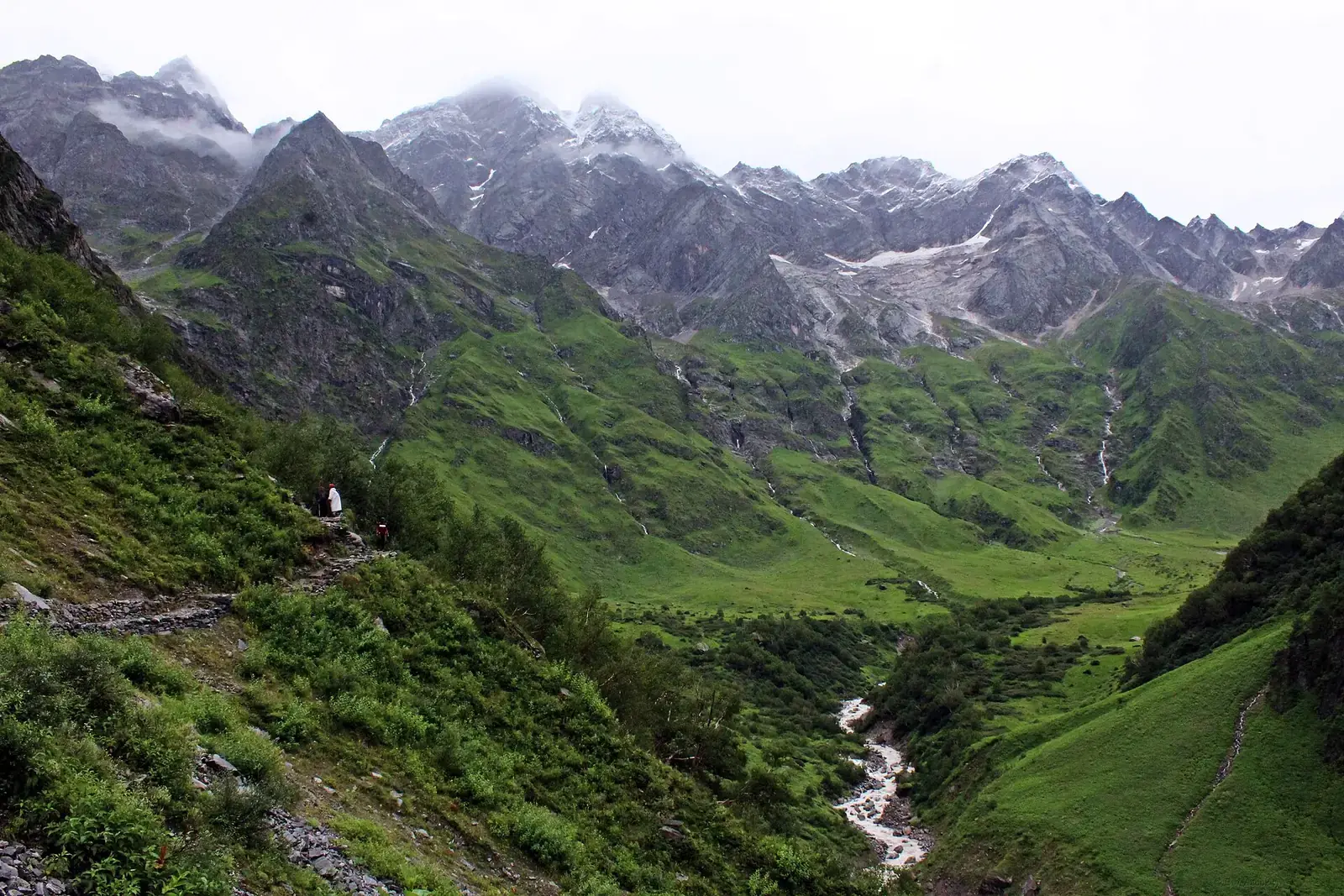
Uttarakhand has two regions: Garhwal in the west and Kumaon in the east. Both climb from the terai forests along the plains, through pine and oak hills, to alpine meadows called bugyals and the snow peaks of the Great Himalaya. The Ganga's source streams, the Bhagirathi and Alaknanda, cut deep valleys through Garhwal.
The state's best-known natural site is the Nanda Devi and Valley of Flowers National Parks, a UNESCO World Heritage Site. Many of its meadows and viewpoints are reached on foot, which keeps them quieter than the busy hill towns.
Quick answer
The best places for nature travel in Uttarakhand are the Valley of Flowers in the monsoon, the meadows of Chopta, Auli and Dayara Bugyal, Kumaon's forests and Himalayan views at Binsar, Munsiyari and Kausani, the lakes around Nainital, and the river valleys of Garhwal. Corbett covers the terai forests. April to June and September to November are best overall; the Valley of Flowers is open from June to October.
Key takeaways
- Nanda Devi and Valley of Flowers National Parks together form a UNESCO World Heritage Site.
- The Valley of Flowers usually opens on 1 June and closes in October; peak bloom is roughly mid-July to mid-August.
- Autumn (October and November) gives the clearest Himalayan views.
- The monsoon brings landslides and road closures in Garhwal; keep buffer days.
- Most meadows are day hikes from road heads; stay overnight only where camping is permitted.
Uttarakhand's nature highlights at a glance
| Place | Landscape | Best time |
|---|---|---|
| Valley of Flowers | Alpine meadow and wildflowers | July to August for blooms |
| Chopta and Tungnath | Meadows, rhododendron forest, peaks | April to June, September to November |
| Auli | Meadows and ski slopes | April to June, September to March |
| Dayara Bugyal | High meadow | May to June, September to December |
| Binsar | Oak forest and Himalayan views | October to June |
| Munsiyari | Panchachuli views, forest walks | April to June, October to November |
| Nainital lakes | Nainital, Bhimtal, Sattal | March to June, October to November |
The Valley of Flowers
A high glacial valley in Chamoli district, reached on foot from Govindghat via Ghangaria. The Pushpawati river runs through meadows that burst into flower in the monsoon, and the park is part of the Nanda Devi UNESCO site. Entry needs a forest department permit, and camping inside the park is not allowed, so visitors stay at Ghangaria.
Valley of Flowers
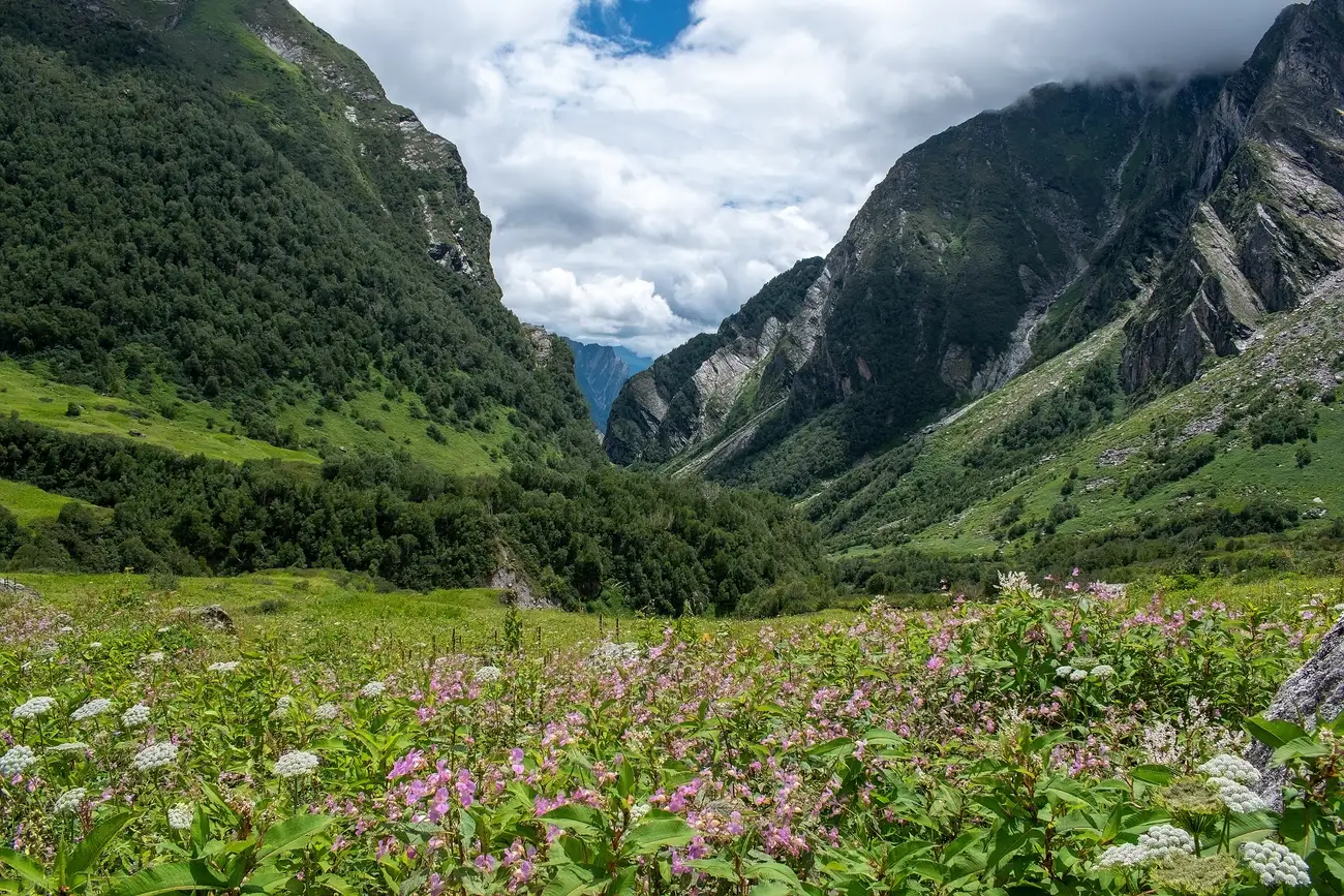
Our detailed guide.
Bugyals and high meadows
Chopta and Tungnath
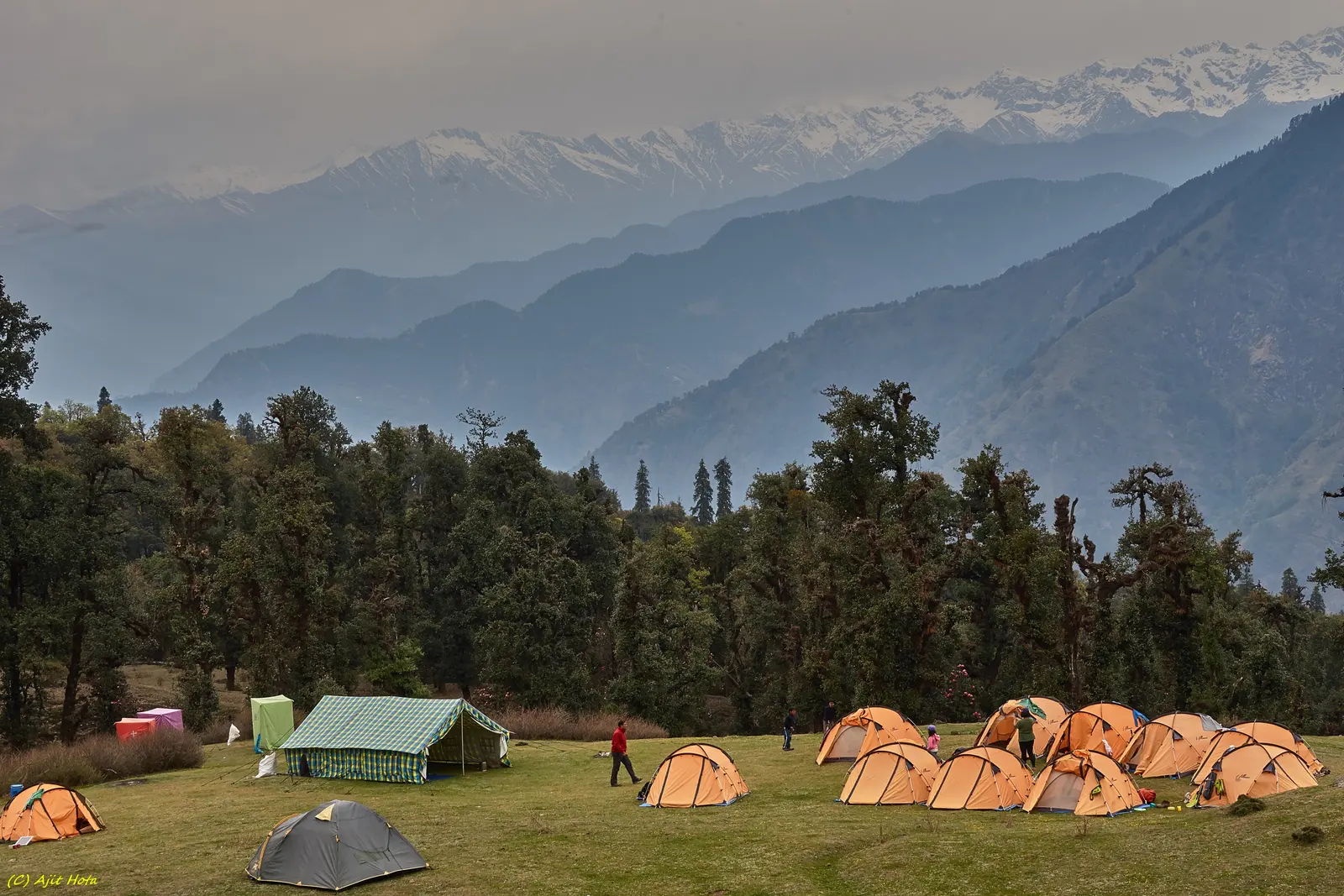
Meadows and rhododendron forest on the road between Ukhimath and Gopeshwar, with a walk to Tungnath and Chandrashila for wide views.
Auli
Slopes above Joshimath with views of Nanda Devi; the ropeway has been closed in recent years, so check its status.
Dayara Bugyal
One of Garhwal's largest meadows, reached on foot from Raithal or Barsu.
Kumaon's forests and views
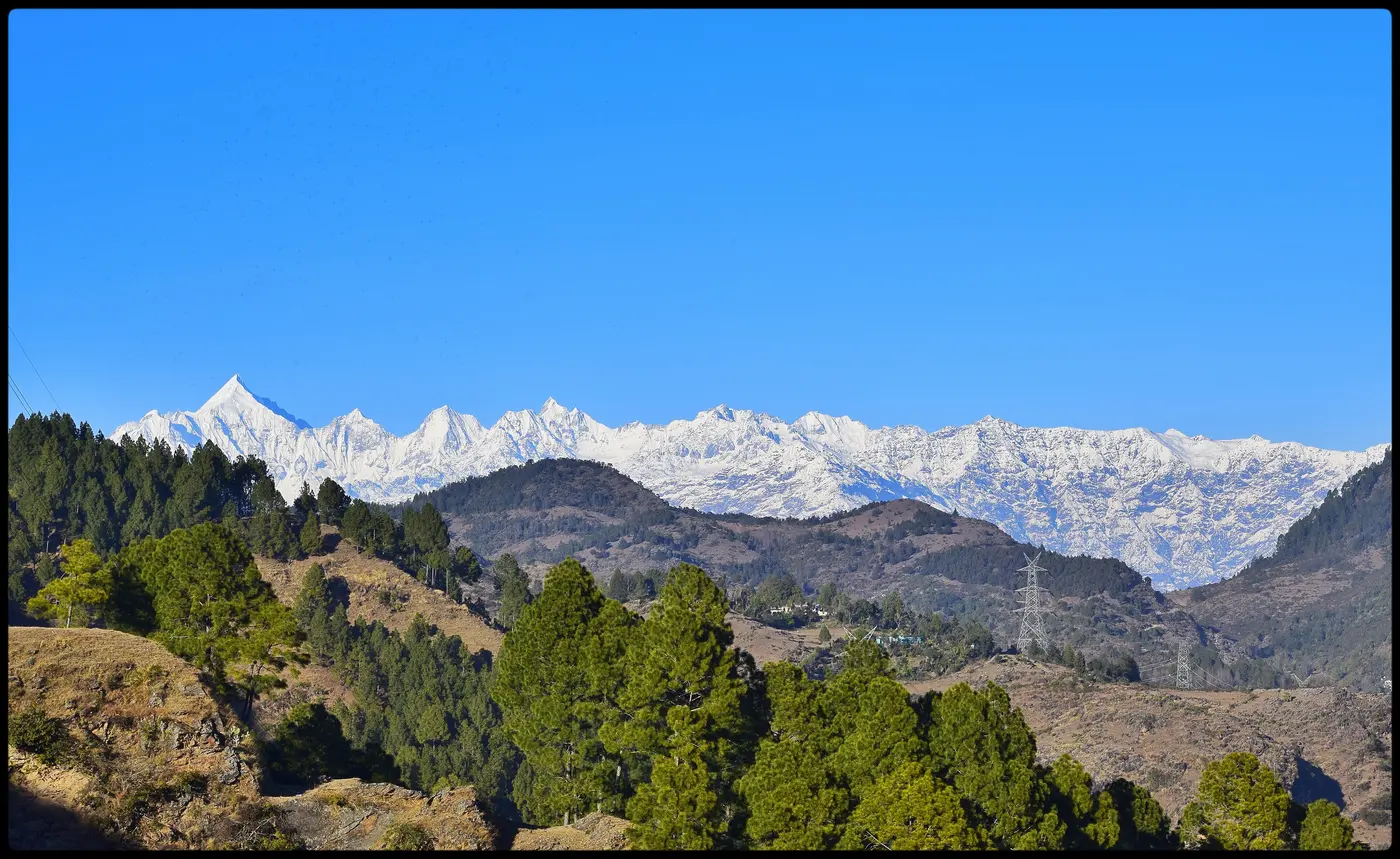
Kumaon is gentler and greener than Garhwal, with oak, deodar and rhododendron forest. Binsar Wildlife Sanctuary protects forest on a ridge with a long view of the Himalaya on clear days. Kausani and Munsiyari face Nanda Devi, Trishul and the Panchachuli peaks.
Lakes
Nainital sits around its lake, and Bhimtal, Sattal and Naukuchiatal lie nearby at lower altitude with quieter shores and good birding. Tehri lake, a large reservoir in Garhwal, has boating and water sports.
Rivers and terai forests
The Ganga leaves the hills at Rishikesh, where riverside walks and forest trails run alongside the adventure scene. In the foothills, Corbett and Rajaji protect sal forest and grassland along the terai. Our wildlife and adventure guides cover safaris and rafting.
When to go
Spring (March to June) brings rhododendrons and pleasant days; autumn (late September to November) has the clearest views. The monsoon (July to mid-September) is the Valley of Flowers season, but it is also when landslides close roads, so allow buffer days. Winter brings snow to Auli, Chopta and Munsiyari; some roads close.
Safety
- In the monsoon, check road status and weather warnings before driving in Garhwal.
- Altitude above 3,000 m can cause mountain sickness; ascend gradually and seek medical advice if unwell.
- Stay on marked trails and viewpoints, and heed local closures after heavy rain.
- Permits, entry rules, seasonal closures and timings change; check official sources before you go.
- Carry your waste back, avoid loud music and never feed wildlife.
What to pack
- Warm layers even in summer
- Rain jacket and pack cover
- Trekking shoes
- Sunscreen and sunglasses
Want the forests, waterfalls and viewpoints woven into one trip?
FAQs
What are the best nature places in Uttarakhand?
The Valley of Flowers, Chopta, Auli, Dayara Bugyal, Binsar, Munsiyari, Kausani and the Nainital lakes.
When does the Valley of Flowers open?
Usually on 1 June, closing in October. Peak bloom is roughly mid-July to mid-August, but it varies each year.
Do I need a permit for the Valley of Flowers?
Yes, a forest department entry permit, bought at Ghangaria or as directed by the park. Check current rules.
Is Uttarakhand safe in the monsoon?
Landslides and road closures are common. Travel is possible with flexible plans and close attention to weather warnings.
Which is better for nature, Garhwal or Kumaon?
Garhwal has higher meadows and the Valley of Flowers; Kumaon has gentler forest walks and wide Himalayan views.
Which season gives the clearest Himalayan views?
October and November, after the monsoon has cleared the air.