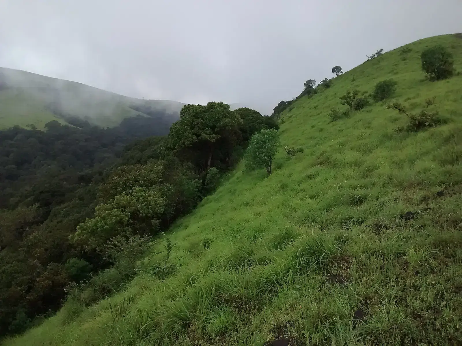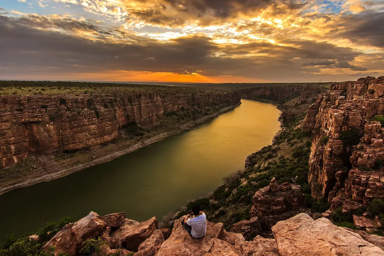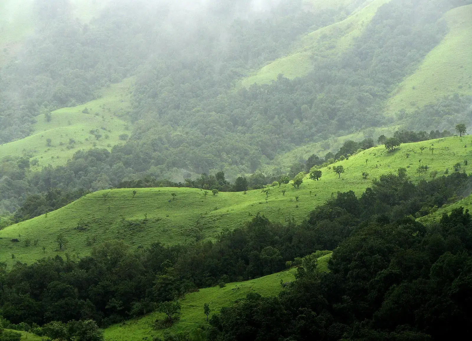
The Western Ghats, also called the Sahyadri, run for about 1,600 km parallel to India's west coast, from near the Gujarat-Maharashtra border to the southern tip of the peninsula. They catch the south-west monsoon, which feeds rainforests, waterfalls and the rivers that flow east across the Deccan, including the Godavari, Krishna and Kaveri.
UNESCO inscribed the Western Ghats as a World Heritage Site in 2012, as a group of protected areas across Maharashtra, Karnataka, Kerala and Tamil Nadu, recognising their exceptional biodiversity. Together with Sri Lanka, they form one of the world's biodiversity hotspots.
Quick answer
The Western Ghats are a mountain range along India's west coast, inscribed by UNESCO in 2012 for their biodiversity. The best places to experience their nature are the Kaas plateau and Sahyadri forts in Maharashtra, Mollem and Dudhsagar in Goa, Agumbe, Kudremukh and Coorg in Karnataka, Silent Valley, Wayanad and Munnar's Eravikulam in Kerala, and the Nilgiris and Anamalais in Tamil Nadu. The monsoon brings waterfalls; October to March is best for walks.
Key takeaways
- The Western Ghats are a UNESCO World Heritage Site (2012) and a global biodiversity hotspot with Sri Lanka.
- The monsoon (June to September) brings waterfalls and blooms; October to March is best for walking.
- Shola forest and grassland mosaics are a distinctive landscape of the higher Ghats.
- Anamudi, in Eravikulam National Park, is the highest peak in South India.
- Many forests are protected; walks are usually guided and permit-based.
The Western Ghats by state
| State | Highlights | Our guides |
|---|---|---|
| Maharashtra | Kaas plateau, Sahyadri forts, Amboli, Bhimashankar | Hill stations in Maharashtra |
| Goa | Mollem forests, Dudhsagar Falls | Dudhsagar Falls |
| Karnataka | Agumbe, Kudremukh, Coorg, Chikmagalur, Jog Falls, Dandeli | Nature travel in Karnataka |
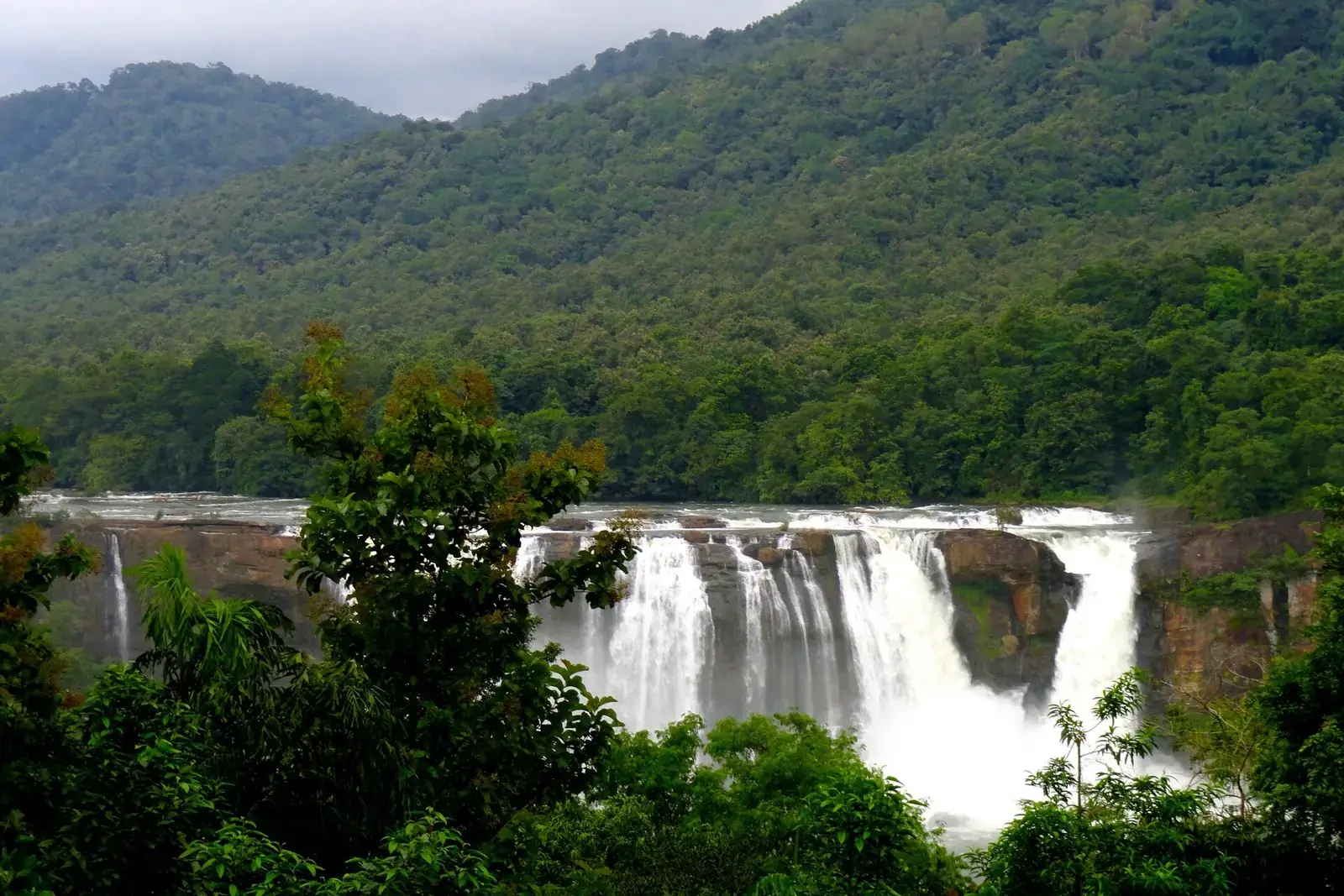
| Kerala | Silent Valley, Wayanad, Eravikulam, Athirappilly, Thekkady | Nature travel in Kerala |
| Tamil Nadu | Nilgiris, Anamalais and Valparai, Meghamalai | Hill stations in Tamil Nadu |
Landscapes of the Ghats
Rainforest
Wet evergreen forest at Silent Valley, Agumbe and parts of Wayanad and the Anamalais.
Shola and grassland
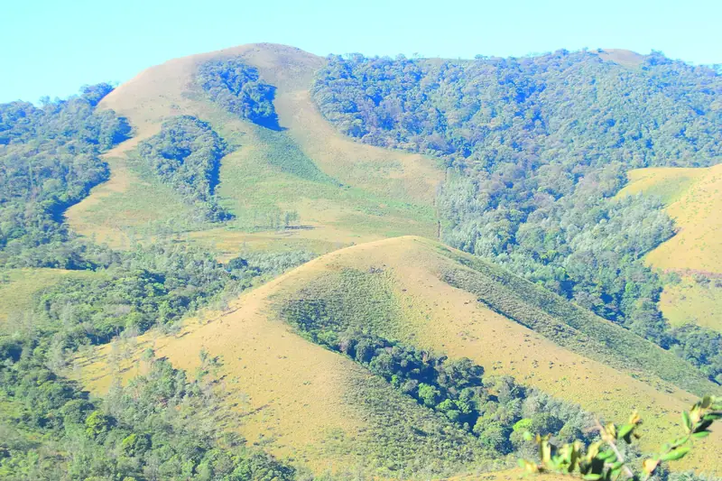
Stunted montane forest in valley folds, surrounded by rolling grassland, at Eravikulam, Kudremukh and the upper Nilgiris.
Laterite plateaus
Flat-topped plateaus such as Kaas, which bloom with wildflowers after the monsoon.
Maharashtra and Goa
Kaas, Amboli and Mollem
The Kaas plateau's flower season, Amboli's rain-soaked forests, and Goa's Mollem forests around Dudhsagar.
Karnataka
Agumbe, Kudremukh and Coorg
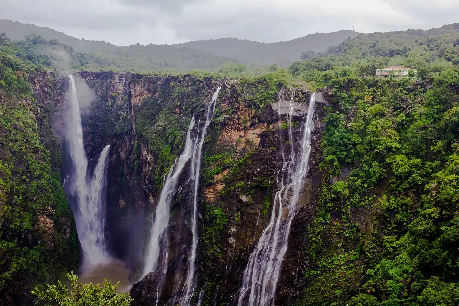
Rainforest at Agumbe, grassland treks at Kudremukh, coffee and forest in Coorg and Chikmagalur, and Jog Falls on the Sharavathi.
Kerala and Tamil Nadu
Silent Valley, Eravikulam and the Nilgiris
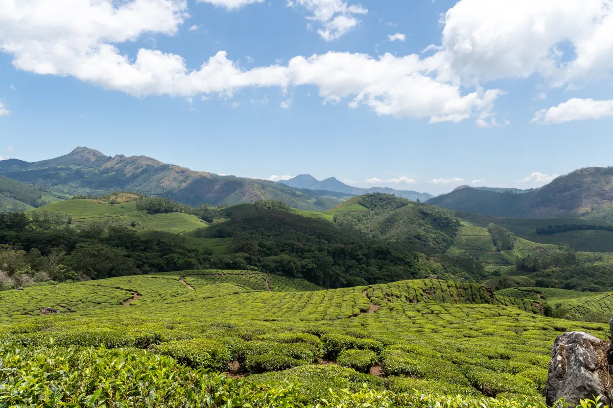
Silent Valley's rainforest, the Nilgiri tahr at Eravikulam, Wayanad's forests, and the Nilgiri and Anamalai hills.
The Ghats in the monsoon
From June to September the Ghats are at their greenest, with waterfalls on every slope and clouds in the valleys. It is a wonderful time for drives and short walks, but leeches, closed trails and landslides on ghat roads are part of the deal. September and October often combine full waterfalls with easier access.
Wildlife and birds
The Ghats are home to lion-tailed macaques, Nilgiri tahr, Malabar giant squirrels, great hornbills and many endemic frogs, lizards and birds. Nagarhole, Bandipur, Periyar and Mudumalai are the best-known reserves; sightings are never guaranteed.
When to go
| Months | What to expect |
|---|---|
| June to September | Monsoon: waterfalls, mist and green; leeches and some trail closures |
| Late August to October | Kaas plateau flowers; waterfalls still full |
| October to February | Clear, cool and best for walks and treks |
| March to May | Warm; hill stations busy; some forests close for fire season |
Good routes
- Pune or Mumbai to Kaas, Mahabaleshwar and the Sahyadri forts.
- Goa to Mollem, Dudhsagar and Dandeli.
- Bengaluru to Coorg, Chikmagalur, Kudremukh and Agumbe.
- Kochi to Munnar, Thekkady and Athirappilly.
- Coimbatore to the Nilgiris and Valparai.
Travelling lightly
The Ghats are densely settled as well as biodiverse, and many forest roads pass through protected areas. Drive slowly, do not stop or feed animals on forest roads, avoid plastic, and choose local homestays and guides. Night driving is restricted on some forest highways.
Safety
- Stay on marked trails and viewpoints, and heed local closures after heavy rain.
- Permits, entry rules and seasonal closures change; check official sources before you go.
- Carry your waste back, avoid loud music, and never feed wildlife.
- Leeches are common in the monsoon; wear leech socks and check your legs after walks.
What to pack
- Rain jacket and leech socks in the monsoon
- Walking shoes with grip
- Binoculars
- Quick-dry clothes
Want the forests, waterfalls and viewpoints woven into one trip?
FAQs
What are the Western Ghats?
A mountain range running about 1,600 km along India's west coast, known for its forests, waterfalls and biodiversity.
Are the Western Ghats a UNESCO World Heritage Site?
Yes, inscribed in 2012 as a series of protected areas in Maharashtra, Karnataka, Kerala and Tamil Nadu.
What is the highest peak in the Western Ghats?
Anamudi, in Kerala's Eravikulam National Park.
When is the best time to visit the Western Ghats?
The monsoon for waterfalls and greenery; October to March for walks and treks.
Which states do the Western Ghats cover?
Gujarat, Maharashtra, Goa, Karnataka, Kerala and Tamil Nadu.